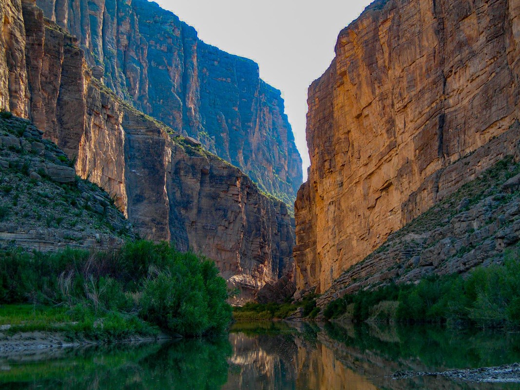
Santa Elena Canyon
Keep a shorter canyon-view option if lowland heat does not fit a hike. Check the creek crossing independently.
April · Santa Elena Canyon
Big Bend National Park in April brings rising lowland heat, so shorten canyon walks when needed. Use a Chisos-specific forecast before choosing a mountain outing.
Official notices last checkedUnavailable
Alert list last changedUnavailable
Current conditions unavailable. We could not check our record of official notices just now. This is our problem, not a statement that the park is clear.
Check the park's own page before you drive: NPS Big Bend current conditions.
Choose an April outing that fits the route, weather and effort involved.
Keep a shorter canyon-view option if lowland heat does not fit a hike. Check the creek crossing independently.
April · Santa Elena Canyon
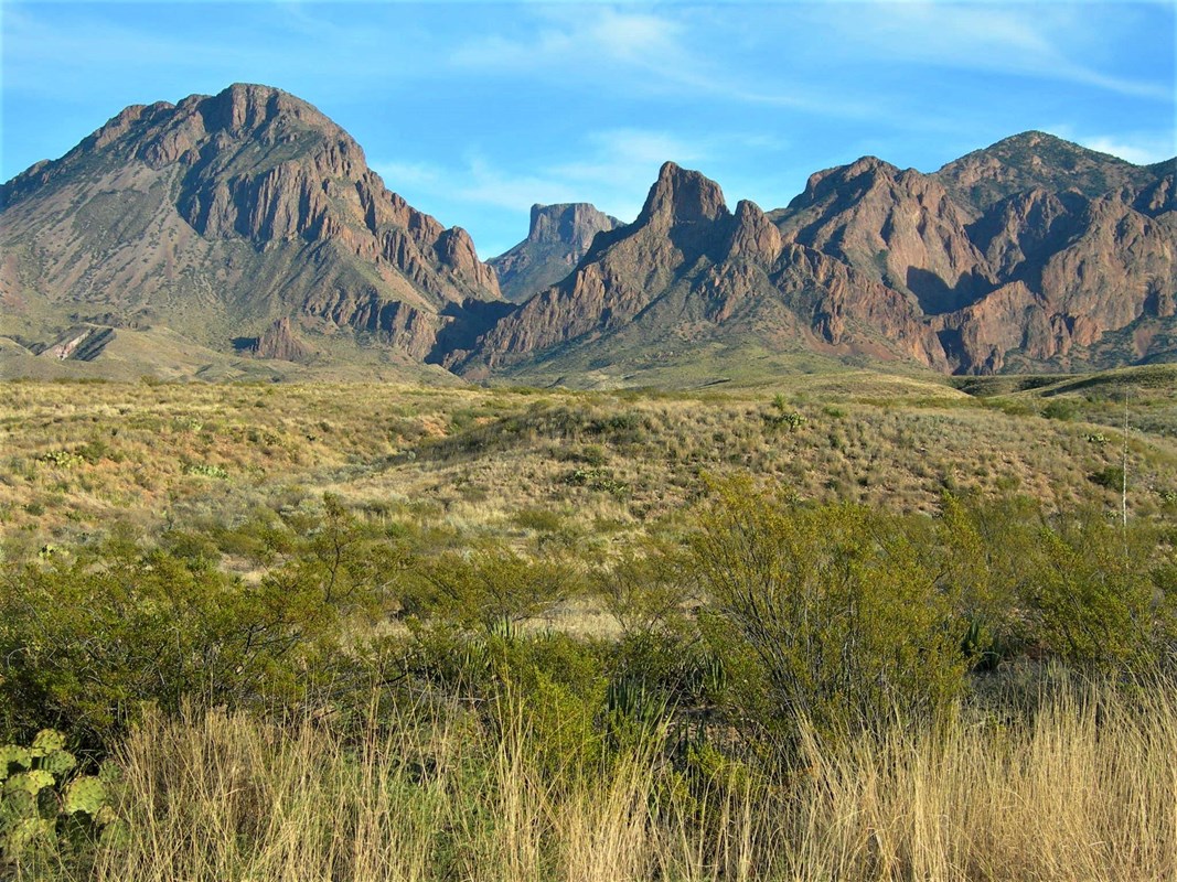
Use a mountain-specific forecast. Panther Junction normals do not describe the Chisos, and a mountain view is not evidence that every trail is accessible.
April · Chisos Mountains
April’s normal high is 82°F and low is 54°F, with 0.49 inches of precipitation. Panther Junction represents park headquarters at about 3,750 ft. NPS says the river and much of the desert are about 10°F warmer and the Chisos Mountains about 10°F cooler. Use a forecast for your actual route.
April averages 66,154 recreation visits, 71% of the peak monthly average in March.
Check the approach before choosing the rest of the day.
The two main approaches and paved visitor roads have a year-round normal visiting pattern. Check primitive roads, river levels and construction or weather restrictions separately.
An independent guide using official data. Not affiliated with or endorsed by the National Park Service.