Best time to visit Great Smoky Mountains
April through October
September is our pick because the lower-elevation weather is still warm and average visits are 26% less than the peak in October. Mountain weather needs a separate forecast.
For a first visit to Great Smoky Mountains National Park in Tennessee and North Carolina, drive Newfound Gap Road over the mountains and walk to the Kuwohi tower when its road is open. Then add the Cades Cove loop on the Tennessee side or Oconaluftee on the North Carolina side. Buy a parking tag before you stop.
Check road, trail and facility alerts and the forecast for the elevations you plan to visit.
A parking tag is required to park for longer than 15 minutes. Buy it before you stop.
Confirm seasonal roads such as Kuwohi Road for your dates before relying on them.
Open a monthly guide, then compare the park-wide visit pattern and the low-elevation Gatlinburg climate normals below.
April through October
September is our pick because the lower-elevation weather is still warm and average visits are 26% less than the peak in October. Mountain weather needs a separate forecast.
The park straddles the Tennessee and North Carolina border. Newfound Gap Road crosses the mountains between the two sides, and each side has its own valleys and entrance towns.

US-441 enters the park from Gatlinburg and reaches Sugarlands Visitor Center, a place to buy a parking tag. The Gatlinburg Trail is one of two park trails that allow leashed pets.
On the map: A is the Gatlinburg entrance, not the visitor center or a trailhead. The photo shows the Sugarlands Valley Nature Trail.

Newfound Gap is the high pass that connects the two sides of the park. A steep, paved 1-mile round trip leads from the Kuwohi parking area to an observation tower on the highest peak.
On the map: neither place has a lettered point. Kuwohi Road is seasonal and closes in winter, and NPS warns of crowding and limited parking.
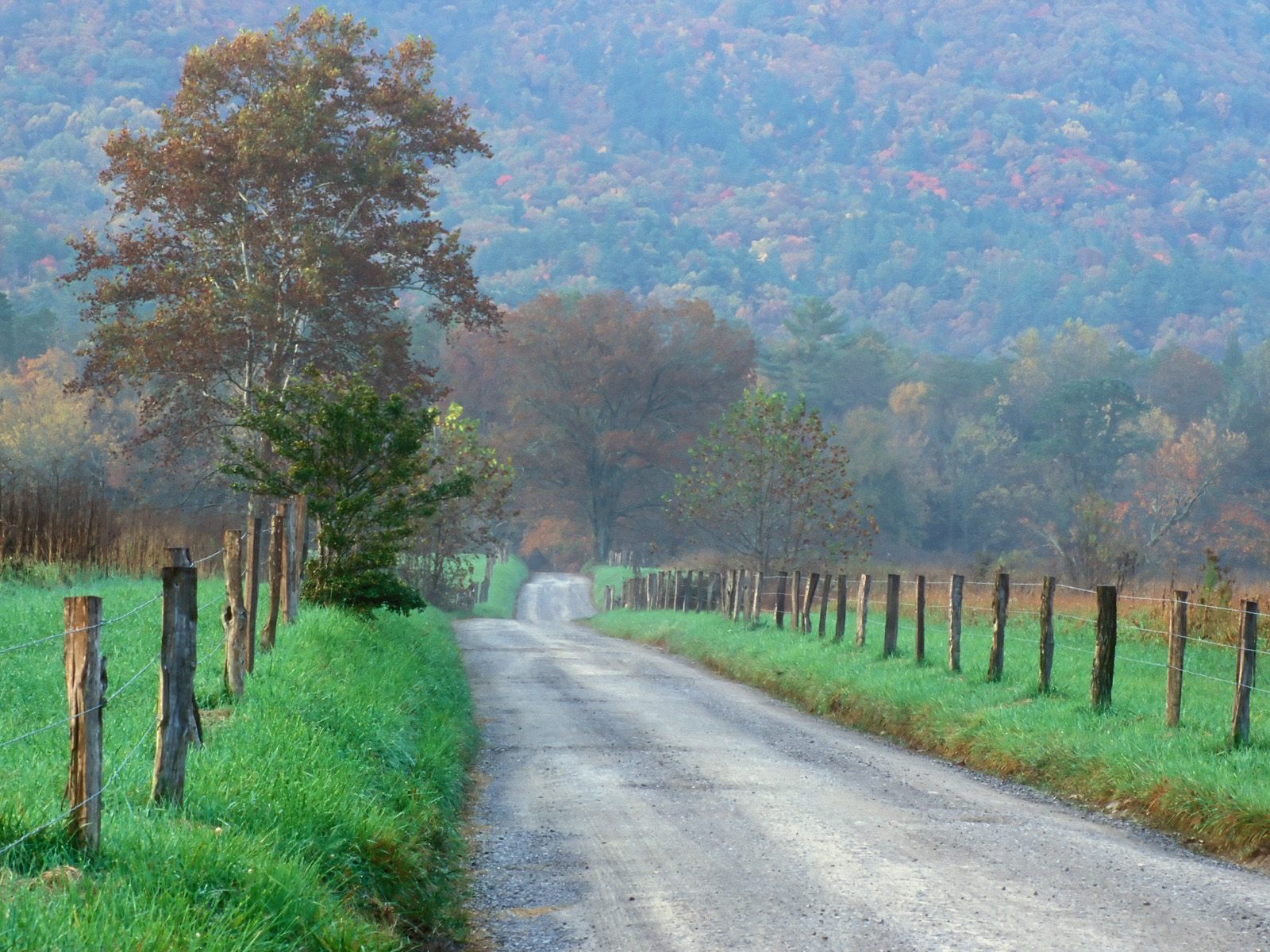
A valley surrounded by mountains south of Townsend. An 11-mile one-way loop road passes historic homesites, churches, trails and wildlife viewing.
On the map: B is the Townsend entrance, not the cove. The loop road is open sunrise to sunset and closed to vehicles on Wednesdays, typically from May through September.

Little River Road is one of the park's year-round primary roads. Waterfalls can cascade along it after heavy rain, and Elkmont is home to a large population of synchronous fireflies.
On the map: Elkmont is not pinned. Firefly viewing there is a managed event with its own lottery.

The Cherokee entrance leads to Oconaluftee Visitor Center. Oconaluftee and Cataloochee are notable places to watch elk, and the Oconaluftee River Trail allows leashed pets.
On the map: C is the Cherokee entrance, not an elk viewing area. Cataloochee is a separate valley drive.
These are five-year monthly averages of park-wide NPS recreation visits. They compare seasonal demand, not unique visitors, traffic on a given road or the chance of finding parking.
NPS recorded 11,527,939 recreation visits in 2025; the five-year annual mean is 12,823,320. In the monthly averages, October is busiest and January is quietest.
Compare typical daily highs, lows and total monthly precipitation. These NOAA normals describe the low-elevation Gatlinburg side, not the colder, snowier high country, and are not a forecast for your trip.
These normals come from Gatlinburg 2 SW at about 1,454 feet, near Sugarlands and the lower Newfound Gap Road. The park rises to 6,643 feet at Kuwohi. NPS says temperatures can vary 10°F (6°C) to 20°F (11°C) from mountain base to top, so check a high-elevation forecast too.
Elevation drives everything here. Flowers and fall color move up or down the mountains, and the summit can be in winter while the valleys are mild.

March through May brings unpredictable weather. Snow can fall at any time in March, especially at higher elevations.
Over 1,500 kinds of flowering plants grow in the park. Blooms run from the first hepaticas in late winter to the last asters in late fall.
Leave flowers where they grow. The photo shows bloodroot, one of the common spring flowers.
June through August means heat, haze and humidity, with common afternoon showers and thunderstorms. Temperatures vary 10°F (6°C) to 20°F (11°C) from mountain base to top.
Elkmont is home to a large population of synchronous fireflies. Viewing is managed through an annual lottery.
A summer park visit does not include firefly viewing. Check the official page for the lottery timeline.
October is the busiest month of the year, and travel inside the park can take much longer. Color starts high in the mountains and moves down.
Color can begin high in the mountains in mid-September. Below 4,000 feet, the best displays often come between mid-October and early November.
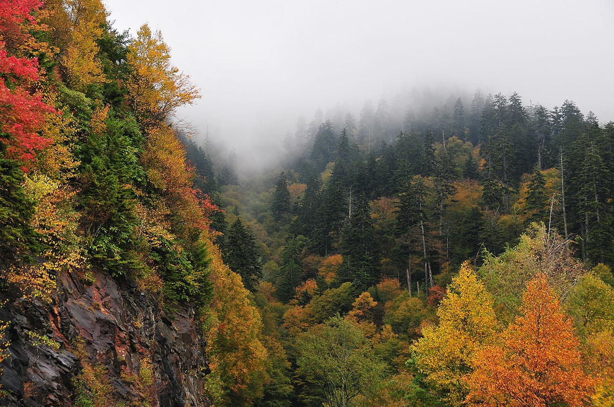
NPS says exact peak dates are hard to predict. The photo shows fall color near Newfound Gap.
Main roads stay open, weather permitting, but Kuwohi Road closes. Warm valleys and snow higher up are not unusual. Cades Cove and Smokemont campgrounds stay open all year.
Cross the mountains first, then add one valley for each extra day.
Count time in the park, not nights booked. Traffic in busy months makes every drive slower.
Climb from the Tennessee foothills to the highest peak.
If Kuwohi Road is unavailable: Stop at Newfound Gap instead, or walk a lower trail near Sugarlands. Kuwohi Road closes in winter.
Climb from the Tennessee foothills to the highest peak.
If Kuwohi Road is unavailable: Stop at Newfound Gap instead, or walk a lower trail near Sugarlands. Kuwohi Road closes in winter.
A valley loop with homesites, trails and wildlife.
Wednesdays: From May through September the loop is typically closed to vehicles on Wednesdays, so walk or bike it then.
Climb from the Tennessee foothills to the highest peak.
If Kuwohi Road is unavailable: Stop at Newfound Gap instead, or walk a lower trail near Sugarlands. Kuwohi Road closes in winter.
A valley loop with homesites, trails and wildlife.
Wednesdays: From May through September the loop is typically closed to vehicles on Wednesdays, so walk or bike it then.
River walks and elk in a lower valley.
From Tennessee: Reaching this side means crossing Newfound Gap Road, so pair it with the crossing or stay in Cherokee.
Climb from the Tennessee foothills to the highest peak.
If Kuwohi Road is unavailable: Stop at Newfound Gap instead, or walk a lower trail near Sugarlands. Kuwohi Road closes in winter.
A valley loop with homesites, trails and wildlife.
Wednesdays: From May through September the loop is typically closed to vehicles on Wednesdays, so walk or bike it then.
River walks and elk in a lower valley.
From Tennessee: Reaching this side means crossing Newfound Gap Road, so pair it with the crossing or stay in Cherokee.
A river drive and a longer walk.
In storms: Afternoon thunderstorms are common in summer, so start a long walk early.
Plan on a car. There is no public transportation from major cities, though private shuttles serve some trailheads from nearby towns.
| Area | By car | Without a car |
|---|---|---|
| From I-40, follow US-441 through Sevierville and Pigeon Forge into the park at Gatlinburg. | No public transportation. Private companies in nearby towns offer rides to the park and shuttles to some trailheads. | |
| Newfound Gap Road is open all year, weather permitting. Kuwohi Road is seasonal and closes in winter. | NPS suggests a shuttle for Kuwohi because parking is limited. Check which private services run. | |
| Enter through Townsend on TN-73. The loop is open to cars sunrise to sunset, except vehicle-free Wednesdays in season. | No public transportation. You can walk or bike the loop, especially on vehicle-free Wednesdays. | |
| Little River Road is a year-round primary road, weather permitting. | No public transportation. | |
| From I-40, take US-74 and US-19 to the Cherokee entrance, or cross Newfound Gap Road from Tennessee. | No public transportation. |
Pick the side of the park you'll spend most days on. Then choose a campground inside, or a town at the entrance on that side.
Inside or outside?
Camping is the main way to stay inside: ten developed campgrounds. The only lodge, LeConte Lodge, is reached on foot.
Towns around the park offer hotels, cabins, bed and breakfasts and campgrounds. NPS staff cannot recommend a place, so compare them yourself.
| Where you'll spend most days | Stay in the park | Stay outside, on the same road |
|---|---|---|
Gatlinburg sideGood for a first visit, Newfound Gap Road and Kuwohi. Normal season: Camping mostly seasonal | Elkmont Campground, near Sugarlands, opens seasonally. LeConte Lodge sits atop Mount LeConte and is reached only on foot. | Gatlinburg, where US-441 enters the park. Pigeon Forge and Sevierville are farther out on the same road. |
Cades Cove and TownsendGood for an early start on the Cades Cove loop. Normal season: Camping all year | Cades Cove Campground is open all year. | Townsend, where TN-73 enters the park. |
North Carolina sideGood for Oconaluftee, elk and the North Carolina valleys. Normal season: Camping all year | Smokemont Campground, near Oconaluftee Visitor Center, is open all year. | Cherokee, at the North Carolina entrance. |
Seasons are the normal pattern, not this year's openings. Confirm dates with the campground or property.
Answers to the first decisions, with the official sources for details.
The park straddles the border of Tennessee and North Carolina. Gatlinburg and Townsend are the main Tennessee entrances, and Cherokee is the North Carolina entrance. NPS directions and transportation NPS scenic drives
Our starting point is Newfound Gap Road and, when its road is open, the walk to the Kuwohi tower. Cades Cove and the Oconaluftee area are good additions for more days. NPS scenic drives NPS Kuwohi walk NPS Cades Cove
A parking tag is required to park for longer than 15 minutes anywhere in the park. Check the official parking tag page for options and where to buy one. NPS Smokies home NPS parking tags
The loop road is open sunrise to sunset. It is closed to vehicles on Wednesdays, typically from May through September, when you can walk or bike it instead. NPS Cades Cove NPS seasonal road schedule
No motels or rental cabins are in the park other than LeConte Lodge, which you can reach only on foot. The park has ten developed campgrounds, and nearby towns have many places to stay. NPS lodging NPS Smokies home
No. Elevations range from about 875 to 6,643 feet, and temperatures can vary 10°F (6°C) to 20°F (11°C) from base to top. Clear skies below do not guarantee good weather higher up. NPS weather by season
An independent guide using official data. Not affiliated with or endorsed by the National Park Service.