Per-month · January

Great Smoky Mountains in January.

January is a solitude-and-quiet audience month.

By Nicholas Major · Last updated

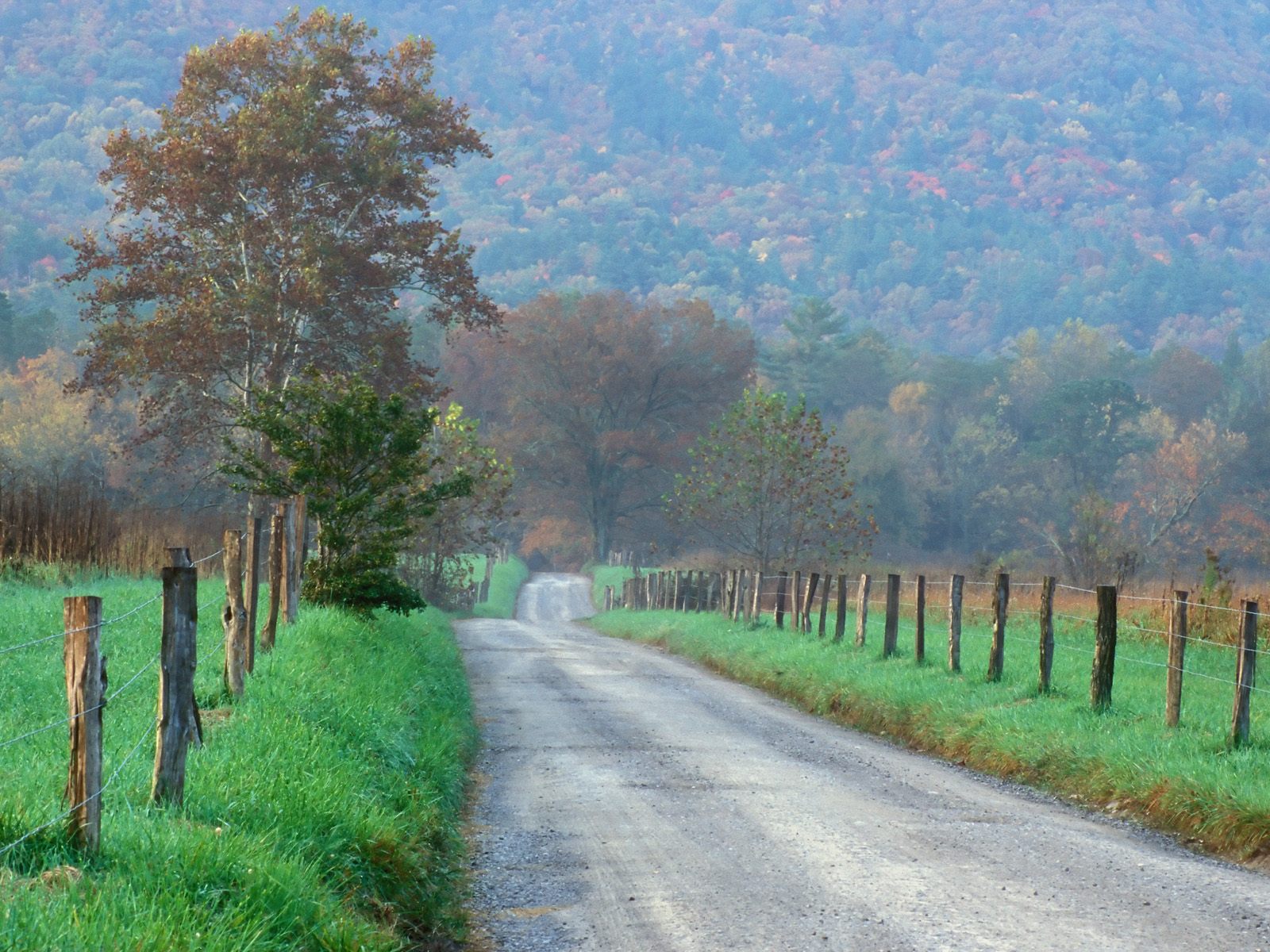
January is the quietest month at Great Smoky Mountains, with a five-year mean near 416,000 recreation visits — about 26% of October's peak. Newfound Gap Road, the high-elevation through-route between Gatlinburg and Cherokee, stays open year-round but is subject to winter storm closures and chain requirements. Clingmans Dome Road, recently restored to its Cherokee name Kuwohi by the U.S. Board on Geographic Names, is closed through winter (typically December through March). Roaring Fork Motor Nature Trail is closed for the season. Cades Cove Loop Road stays open sunrise to sunset, and the lower-elevation valleys produce some of the year's most reliable dawn wildlife viewing — bears are denning but deer, turkey, and the occasional river otter remain visible. NOAA normals at Gatlinburg 2 SW (~1,454 ft) record a January high near 47°F with overnight lows near 27°F and a snowfall normal of 2.4 inches. For visitors trading short daylight and the chance of a winter storm closing the through-route, January is the cleanest low-crowd window of the year.

Crowd snapshot.

January is firmly the quietest month at Great Smoky Mountains by five-year mean — about 416,000 recreation visits, the lowest of any month and roughly 26% of October's fall-foliage peak. Cades Cove Loop on weekdays is genuinely empty; weekends pull a modest regional bump from Knoxville and Asheville day-trippers. Gatlinburg, Pigeon Forge, Townsend, and Cherokee lodging runs at the year's lowest rates outside the New Year's Day holiday window. The Sugarlands and Oconaluftee visitor centers operate winter cadence, and trailhead parking on Newfound Gap Road is wide open even on the busiest weekend afternoons.

FieldValue
January recreation visits (5-yr mean)415,899
Share of October's peak26%
Crowd bandlow
Park's busiest month (5-yr mean)October
Park's quietest month (5-yr mean)January

Weather snapshot.

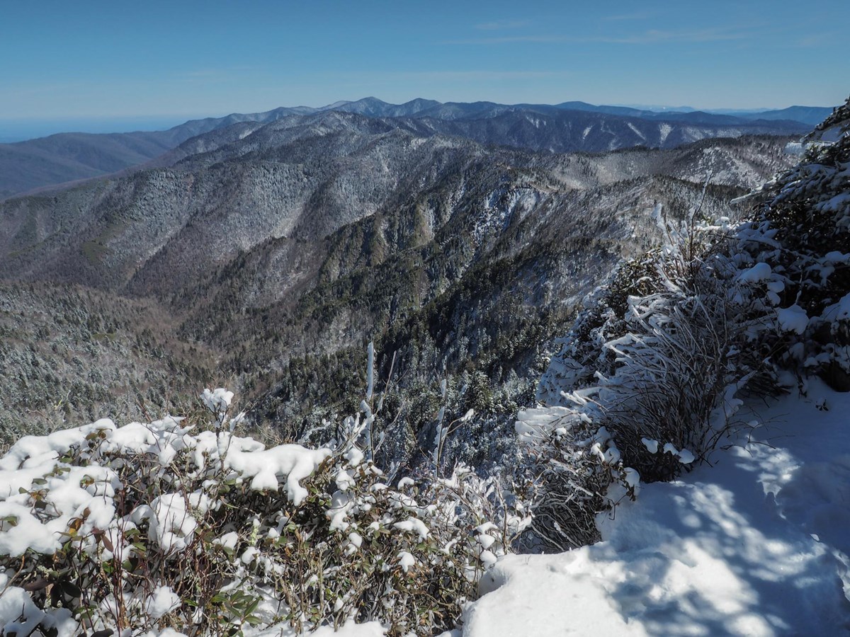
The Gatlinburg 2 SW NOAA station records a January high near 46.6°F and a low near 26.6°F at the cooperative observer elevation of about 1,454 ft. January snow at the gateway station averages 2.4 inches for the month — the highest single-month reading is tied with February. High-elevation districts (Newfound Gap at 5,046 ft, Kuwohi at 6,643 ft, Mt LeConte at 6,593 ft) run 10-20°F colder and absorb materially more snowfall — LeConte alone averages over 60 inches per winter at its summit lodge elevation. The TN-side normal pattern is a mix of cold dry stretches with passing winter storms; precipitation totals stay heavy through the month at 4.75 inches.

FieldValue
Average high (°F)46.6
Average low (°F)26.6
Precipitation (inches)4.75
Snowfall (inches)2.4
Weather bandcold
StationGatlinburg 2 SW, TN at 1,454 ft

Access snapshot.

Newfound Gap Road is open weather permitting; winter storm closures and chain requirements are routine — verify current status on the NPS Great Smoky Mountains conditions page. Clingmans Dome / Kuwohi Road is closed through winter (typically December through March). Roaring Fork Motor Nature Trail is closed for the season per the NPS Roaring Fork page. Cades Cove Loop Road remains open sunrise to sunset. The Park It Forward parking tag is required year-round for any vehicle parked over 15 minutes — Daily $5, Weekly $15, Annual $40 per the NPS fees page.

FieldValue
January access score (0-100)65
Year-round routeNewfound Gap Road (US-441, weather permitting) + Cades Cove Loop (sunrise to sunset). Kuwohi Road (formerly Clingmans Dome Road) closed December through March; Roaring Fork Motor Nature Trail closed November through April.
Verify current road and fee statusOfficial NPS Great Smoky Mountains conditions page

Seasonal events.

January is winter-quiet at the gateway corridors. Black bears are denning so summer's bear-jam traffic on Cades Cove Loop is gone, but white-tailed deer and turkeys are routinely visible in the cove fields at dawn. The synchronous firefly lottery is months away; spring wildflower season has not started. River otter sightings on streams and rivers are at their best (NPS wildlife). Bare hardwoods open up sightlines on Newfound Gap Road and the Foothills Parkway corridors for long-distance ridge photography; the persistent winter haze and morning fog still create the layered-ridge compositions that named the park. Late-month daylight begins to lengthen noticeably.

Audience verdict.

January is a solitude-and-quiet audience month. It rewards visitors anchored at Gatlinburg or Townsend who want empty trailheads, dawn wildlife photography in Cades Cove, and quiet hikes on Newfound Gap Road or the Foothills Parkway. It is not a high-country month — Kuwohi Road is closed and Mt LeConte and Newfound Gap can be locked under ice for stretches. Family travelers with young kids can use the lower-elevation corridors for short walks (Sugarlands Valley, Mountain Farm Museum at Oconaluftee, Cades Cove Loop drive) but should plan around the chance of a Newfound Gap storm closure. RV travelers can use Cades Cove Campground year-round but should expect cold nights and no hookups inside the park.

Methodology

Monthly recreation visits come from the official NPS Visitor Use Statistics Data Package, 2025 on NPS IRMA Stats; the statistic shown is Recreation Visits, the 5-year mean across 1979-2025. Climate normals come from NOAA NCEI's 1991-2020 U.S. Climate Normals at Gatlinburg 2 SW, TN (station USC00403420, 1,454 ft elevation). The access score weights named park roads by route importance for typical wheeled-vehicle openings that month. Year-variable specifics — current Newfound Gap Road winter status, Clingmans Dome / Kuwohi Road open/close dates, Roaring Fork Motor Nature Trail dates, Cades Cove vehicle-free Wednesday window, synchronous firefly lottery window, Park It Forward parking tag rates — drift year to year and are hedged in the editorial above; confirm current dates on the official NPS Great Smoky Mountains page before booking. Independent site, not affiliated with the National Park Service.

Independence

Independent site. Not affiliated with or endorsed by the National Park Service. Data comes from the official NPS Visitor Use Statistics Data Package, 2025; editorial analysis is ours. The NPS Arrowhead and other NPS marks are not used.

Last updated · 2026-05-28