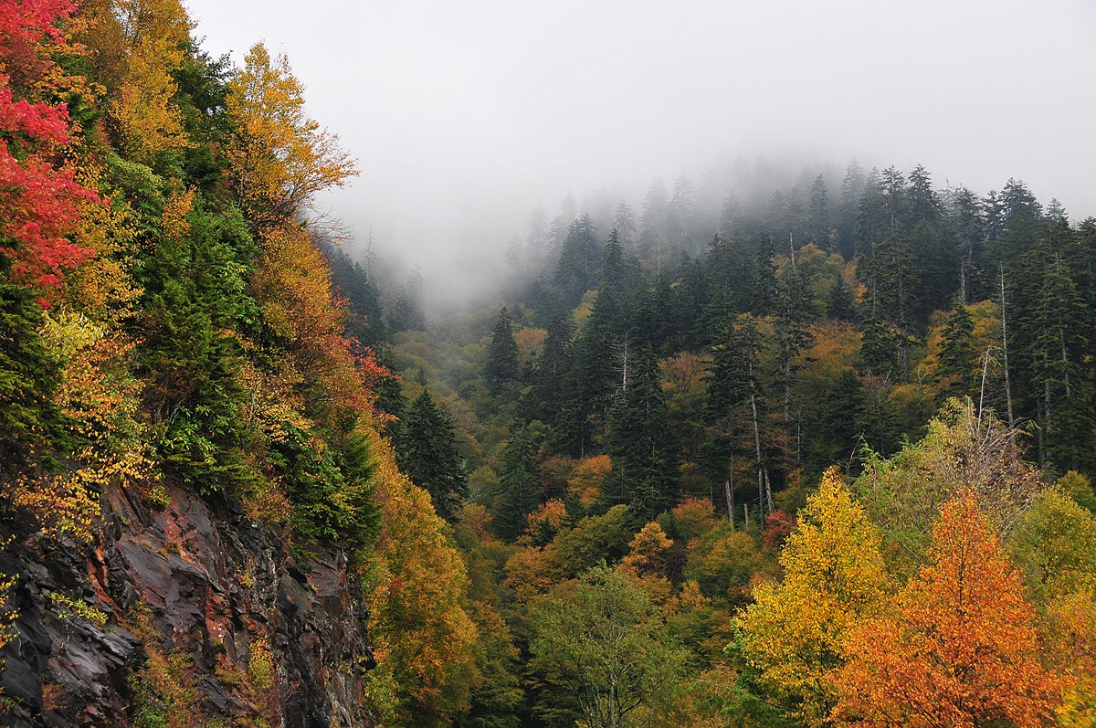
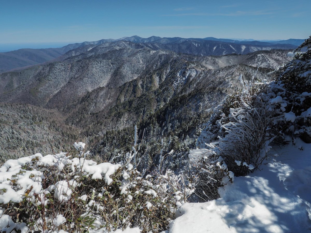
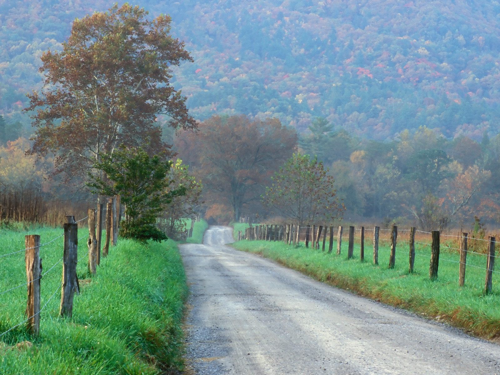
Even though these months are busy, April through October offer better conditions for forest walks and broader scenic-road access than winter. September is our pick because the lower-elevation weather is still warm and average visits are 26% less than the peak in October. Mountain weather needs a separate forecast.
Confirm your chosen stay dates, access and reservation directly.
Compare Great Smoky Mountains by month.
Compare Great Smoky Mountains visits, station weather, road approaches and overnight seasons for all twelve months. Read the scope before comparing Access and Stays. Operating seasons are not vacancies.
The lowest average visits. Main roads can close for snow or ice; most campgrounds are outside their season.Read the January guide →
January crowds
415,899 average January visits in 2021–2025.
Monthly recreation visits
47 annual records · 1979–2025
Scroll the chart to see all years →
Hover, focus or tap a bar to see its year and value.
NPS recreation visits are visits, not unique visitors or a measure of how busy an individual trail feels. Counts can reflect closures, disruptions and changes in counting methods.
The Gatlinburg 2 SW cooperative observer station sits at about 1,454 ft in the Tennessee gateway corridor, near the elevation of Sugarlands Visitor Center and the lower Newfound Gap Road. The park rises to 6,643 ft at Kuwohi, and the high country runs colder and snowier than this station, so treat these numbers as a lower-elevation guide and check a high-elevation forecast before a high-country trip.
January weather through the years at Gatlinburg 2 SW, TN.
Average daily high and low (°F)
69 complete high-temperature records · 57 complete low-temperature records
■ High■ Low
Scroll the chart to see all years →
Hover, focus or tap a bar to see its year and value.
Monthly precipitation (inches)
79 complete rain records
Scroll the chart to see all years →
Hover, focus or tap a bar to see its year and value.
Gatlinburg 2 SW, TN station observations, not a park-wide average or forecast. Complete quality-screened calendar months only, separately by metric. Daily high/low means and total precipitation; incomplete months stay null. No interpolation or substitution. Completed years only; separate from 1991-2020 normals.
Normal road approach, subject to weather and individual site restrictions. This marker is an access location, not a guarantee that every facility is operating.
BTownsend Entrance
Open
Normal road approach, subject to weather and individual site restrictions. This marker is an access location, not a guarantee that every facility is operating.
CCherokee Entrance
Open
Normal road approach, subject to weather and individual site restrictions. This marker is an access location, not a guarantee that every facility is operating.
all ten frontcountry campgrounds plus the hike-in LeConte Lodge, with group areas identified separately. Normal seasons are planning guidance, not vacancies. Opening/closing months are partial. Unverified means confirm directly. These are normal seasonal schedules, not room or campsite availability.
Frontcountry campground
1Cades Cove
Open
Year-round camping, with only part of the normal loop selection operating in winter. Confirm your loop and dates.
2Smokemont
Open
Year-round camping, with only part of the normal loop selection operating in winter. Confirm your loop and dates.
3Elkmont
Closed
Outside the normal operating season. Check the published calendar for your dates.
4Cosby
Closed
Outside the normal operating season. Check the published calendar for your dates.
5Abrams Creek
Closed
Outside the normal operating season. Check the published calendar for your dates.
6Big Creek
Closed
Outside the normal operating season. Check the published calendar for your dates.
7Cataloochee
Closed
Outside the normal operating season. Check the published calendar for your dates.
8Deep Creek
Closed
Outside the normal operating season. Check the published calendar for your dates.
9Balsam Mountain
Closed
Outside the normal operating season. Check the published calendar for your dates.
10Look Rock
Closed
Outside the normal operating season. Check the published calendar for your dates.
Winter conditions continue at higher elevations. Year-round camping centers on Cades Cove and Smokemont.Read the February guide →
February crowds
485,531 average February visits in 2021–2025.
Monthly recreation visits
47 annual records · 1979–2025
Scroll the chart to see all years →
Hover, focus or tap a bar to see its year and value.
NPS recreation visits are visits, not unique visitors or a measure of how busy an individual trail feels. Counts can reflect closures, disruptions and changes in counting methods.
The Gatlinburg 2 SW cooperative observer station sits at about 1,454 ft in the Tennessee gateway corridor, near the elevation of Sugarlands Visitor Center and the lower Newfound Gap Road. The park rises to 6,643 ft at Kuwohi, and the high country runs colder and snowier than this station, so treat these numbers as a lower-elevation guide and check a high-elevation forecast before a high-country trip.
February weather through the years at Gatlinburg 2 SW, TN.
Average daily high and low (°F)
70 complete high-temperature records · 61 complete low-temperature records
■ High■ Low
Scroll the chart to see all years →
Hover, focus or tap a bar to see its year and value.
Monthly precipitation (inches)
86 complete rain records
Scroll the chart to see all years →
Hover, focus or tap a bar to see its year and value.
Gatlinburg 2 SW, TN station observations, not a park-wide average or forecast. Complete quality-screened calendar months only, separately by metric. Daily high/low means and total precipitation; incomplete months stay null. No interpolation or substitution. Completed years only; separate from 1991-2020 normals.
Normal road approach, subject to weather and individual site restrictions. This marker is an access location, not a guarantee that every facility is operating.
BTownsend Entrance
Open
Normal road approach, subject to weather and individual site restrictions. This marker is an access location, not a guarantee that every facility is operating.
CCherokee Entrance
Open
Normal road approach, subject to weather and individual site restrictions. This marker is an access location, not a guarantee that every facility is operating.
all ten frontcountry campgrounds plus the hike-in LeConte Lodge, with group areas identified separately. Normal seasons are planning guidance, not vacancies. Opening/closing months are partial. Unverified means confirm directly. These are normal seasonal schedules, not room or campsite availability.
Frontcountry campground
1Cades Cove
Open
Year-round camping, with only part of the normal loop selection operating in winter. Confirm your loop and dates.
2Smokemont
Open
Year-round camping, with only part of the normal loop selection operating in winter. Confirm your loop and dates.
3Elkmont
Closed
Outside the normal operating season. Check the published calendar for your dates.
4Cosby
Closed
Outside the normal operating season. Check the published calendar for your dates.
5Abrams Creek
Closed
Outside the normal operating season. Check the published calendar for your dates.
6Big Creek
Closed
Outside the normal operating season. Check the published calendar for your dates.
7Cataloochee
Closed
Outside the normal operating season. Check the published calendar for your dates.
8Deep Creek
Closed
Outside the normal operating season. Check the published calendar for your dates.
9Balsam Mountain
Closed
Outside the normal operating season. Check the published calendar for your dates.
10Look Rock
Closed
Outside the normal operating season. Check the published calendar for your dates.
A spring transition with cold mountain nights. LeConte Lodge normally begins its hiking season.Read the March guide →
March crowds
881,563 average March visits in 2021–2025.
Monthly recreation visits
47 annual records · 1979–2025
Scroll the chart to see all years →
Hover, focus or tap a bar to see its year and value.
NPS recreation visits are visits, not unique visitors or a measure of how busy an individual trail feels. Counts can reflect closures, disruptions and changes in counting methods.
The Gatlinburg 2 SW cooperative observer station sits at about 1,454 ft in the Tennessee gateway corridor, near the elevation of Sugarlands Visitor Center and the lower Newfound Gap Road. The park rises to 6,643 ft at Kuwohi, and the high country runs colder and snowier than this station, so treat these numbers as a lower-elevation guide and check a high-elevation forecast before a high-country trip.
March weather through the years at Gatlinburg 2 SW, TN.
Average daily high and low (°F)
74 complete high-temperature records · 68 complete low-temperature records
■ High■ Low
Scroll the chart to see all years →
Hover, focus or tap a bar to see its year and value.
Monthly precipitation (inches)
89 complete rain records
Scroll the chart to see all years →
Hover, focus or tap a bar to see its year and value.
Gatlinburg 2 SW, TN station observations, not a park-wide average or forecast. Complete quality-screened calendar months only, separately by metric. Daily high/low means and total precipitation; incomplete months stay null. No interpolation or substitution. Completed years only; separate from 1991-2020 normals.
Normal road approach, subject to weather and individual site restrictions. This marker is an access location, not a guarantee that every facility is operating.
BTownsend Entrance
Open
Normal road approach, subject to weather and individual site restrictions. This marker is an access location, not a guarantee that every facility is operating.
CCherokee Entrance
Open
Normal road approach, subject to weather and individual site restrictions. This marker is an access location, not a guarantee that every facility is operating.
all ten frontcountry campgrounds plus the hike-in LeConte Lodge, with group areas identified separately. Normal seasons are planning guidance, not vacancies. Opening/closing months are partial. Unverified means confirm directly. These are normal seasonal schedules, not room or campsite availability.
Frontcountry campground
1Cades Cove
Open
Year-round camping, with only part of the normal loop selection operating in winter. Confirm your loop and dates.
2Smokemont
Open
Year-round camping, with only part of the normal loop selection operating in winter. Confirm your loop and dates.
3Elkmont
Closed
Outside the normal operating season. Check the published calendar for your dates.
4Cosby
Closed
Outside the normal operating season. Check the published calendar for your dates.
5Abrams Creek
Closed
Outside the normal operating season. Check the published calendar for your dates.
6Big Creek
Closed
Outside the normal operating season. Check the published calendar for your dates.
7Cataloochee
Closed
Outside the normal operating season. Check the published calendar for your dates.
8Deep Creek
Closed
Outside the normal operating season. Check the published calendar for your dates.
9Balsam Mountain
Closed
Outside the normal operating season. Check the published calendar for your dates.
10Look Rock
Closed
Outside the normal operating season. Check the published calendar for your dates.
Forest-walking weather improves. Seasonal scenic roads reopen in stages.Read the April guide →
April crowds
1,029,746 average April visits in 2021–2025.
Monthly recreation visits
47 annual records · 1979–2025
Scroll the chart to see all years →
Hover, focus or tap a bar to see its year and value.
NPS recreation visits are visits, not unique visitors or a measure of how busy an individual trail feels. Counts can reflect closures, disruptions and changes in counting methods.
The Gatlinburg 2 SW cooperative observer station sits at about 1,454 ft in the Tennessee gateway corridor, near the elevation of Sugarlands Visitor Center and the lower Newfound Gap Road. The park rises to 6,643 ft at Kuwohi, and the high country runs colder and snowier than this station, so treat these numbers as a lower-elevation guide and check a high-elevation forecast before a high-country trip.
April weather through the years at Gatlinburg 2 SW, TN.
Average daily high and low (°F)
70 complete high-temperature records · 62 complete low-temperature records
■ High■ Low
Scroll the chart to see all years →
Hover, focus or tap a bar to see its year and value.
Monthly precipitation (inches)
88 complete rain records
Scroll the chart to see all years →
Hover, focus or tap a bar to see its year and value.
Gatlinburg 2 SW, TN station observations, not a park-wide average or forecast. Complete quality-screened calendar months only, separately by metric. Daily high/low means and total precipitation; incomplete months stay null. No interpolation or substitution. Completed years only; separate from 1991-2020 normals.
Normal road approach, subject to weather and individual site restrictions. This marker is an access location, not a guarantee that every facility is operating.
BTownsend Entrance
Open
Normal road approach, subject to weather and individual site restrictions. This marker is an access location, not a guarantee that every facility is operating.
CCherokee Entrance
Open
Normal road approach, subject to weather and individual site restrictions. This marker is an access location, not a guarantee that every facility is operating.
all ten frontcountry campgrounds plus the hike-in LeConte Lodge, with group areas identified separately. Normal seasons are planning guidance, not vacancies. Opening/closing months are partial. Unverified means confirm directly. These are normal seasonal schedules, not room or campsite availability.
Frontcountry campground
1Cades Cove
Open
Year-round operating season. Confirm services, weather access and your reservation; this is not vacancy.
2Smokemont
Open
Year-round operating season. Confirm services, weather access and your reservation; this is not vacancy.
3Elkmont
Part month
The season normally begins or ends during this month. Confirm the dated operating calendar.
4Cosby
Closed
Outside the normal operating season. Check the published calendar for your dates.
5Abrams Creek
Closed
Outside the normal operating season. Check the published calendar for your dates.
6Big Creek
Closed
Outside the normal operating season. Check the published calendar for your dates.
7Cataloochee
Closed
Outside the normal operating season. Check the published calendar for your dates.
8Deep Creek
Closed
Outside the normal operating season. Check the published calendar for your dates.
9Balsam Mountain
Closed
Outside the normal operating season. Check the published calendar for your dates.
10Look Rock
Closed
Outside the normal operating season. Check the published calendar for your dates.
Hover, focus or tap a bar to see its year and value.
NPS recreation visits are visits, not unique visitors or a measure of how busy an individual trail feels. Counts can reflect closures, disruptions and changes in counting methods.
The Gatlinburg 2 SW cooperative observer station sits at about 1,454 ft in the Tennessee gateway corridor, near the elevation of Sugarlands Visitor Center and the lower Newfound Gap Road. The park rises to 6,643 ft at Kuwohi, and the high country runs colder and snowier than this station, so treat these numbers as a lower-elevation guide and check a high-elevation forecast before a high-country trip.
May weather through the years at Gatlinburg 2 SW, TN.
Average daily high and low (°F)
66 complete high-temperature records · 54 complete low-temperature records
■ High■ Low
Scroll the chart to see all years →
Hover, focus or tap a bar to see its year and value.
Monthly precipitation (inches)
82 complete rain records
Scroll the chart to see all years →
Hover, focus or tap a bar to see its year and value.
Gatlinburg 2 SW, TN station observations, not a park-wide average or forecast. Complete quality-screened calendar months only, separately by metric. Daily high/low means and total precipitation; incomplete months stay null. No interpolation or substitution. Completed years only; separate from 1991-2020 normals.
all ten frontcountry campgrounds plus the hike-in LeConte Lodge, with group areas identified separately. Normal seasons are planning guidance, not vacancies. Opening/closing months are partial. Unverified means confirm directly. These are normal seasonal schedules, not room or campsite availability.
Frontcountry campground
1Cades Cove
Open
Year-round operating season. Confirm services, weather access and your reservation; this is not vacancy.
2Smokemont
Open
Year-round operating season. Confirm services, weather access and your reservation; this is not vacancy.
3Elkmont
Open
Within the normal operating season. This is not room or campsite availability.
4Cosby
Part month
The season normally begins or ends during this month. Confirm the dated operating calendar.
5Abrams Creek
Part month
The season normally begins or ends during this month. Confirm the dated operating calendar.
6Big Creek
Part month
The season normally begins or ends during this month. Confirm the dated operating calendar.
7Cataloochee
Part month
The season normally begins or ends during this month. Confirm the dated operating calendar.
8Deep Creek
Part month
The season normally begins or ends during this month. Confirm the dated operating calendar.
9Balsam Mountain
Part month
The season normally begins or ends during this month. Confirm the dated operating calendar.
10Look Rock
Part month
The season normally begins or ends during this month. Confirm the dated operating calendar.
Group camping normally operates from spring into fall. The reviewed NPS calendar covers May through October; boundary dates vary by campground and year. These sites require reservations.
Cades Cove Group Campground
Part month
Group camping normally operates from spring into fall. The reviewed NPS calendar covers May through October; boundary dates vary by campground and year. These sites require reservations.
Smokemont Group Campground
Part month
Group camping normally operates from spring into fall. The reviewed NPS calendar covers May through October; boundary dates vary by campground and year. These sites require reservations.
Broad seasonal road and campground choice, with warmer and wetter lower-elevation weather.Read the June guide →
June crowds
1,457,247 average June visits in 2021–2025.
Monthly recreation visits
47 annual records · 1979–2025
Scroll the chart to see all years →
Hover, focus or tap a bar to see its year and value.
NPS recreation visits are visits, not unique visitors or a measure of how busy an individual trail feels. Counts can reflect closures, disruptions and changes in counting methods.
The Gatlinburg 2 SW cooperative observer station sits at about 1,454 ft in the Tennessee gateway corridor, near the elevation of Sugarlands Visitor Center and the lower Newfound Gap Road. The park rises to 6,643 ft at Kuwohi, and the high country runs colder and snowier than this station, so treat these numbers as a lower-elevation guide and check a high-elevation forecast before a high-country trip.
June weather through the years at Gatlinburg 2 SW, TN.
Average daily high and low (°F)
76 complete high-temperature records · 65 complete low-temperature records
■ High■ Low
Scroll the chart to see all years →
Hover, focus or tap a bar to see its year and value.
Monthly precipitation (inches)
91 complete rain records
Scroll the chart to see all years →
Hover, focus or tap a bar to see its year and value.
Gatlinburg 2 SW, TN station observations, not a park-wide average or forecast. Complete quality-screened calendar months only, separately by metric. Daily high/low means and total precipitation; incomplete months stay null. No interpolation or substitution. Completed years only; separate from 1991-2020 normals.
The warmest and wettest lower-elevation normal month. Prepare for humidity and thunderstorms.Read the July guide →
July crowds
1,544,523 average July visits in 2021–2025.
Monthly recreation visits
47 annual records · 1979–2025
Scroll the chart to see all years →
Hover, focus or tap a bar to see its year and value.
NPS recreation visits are visits, not unique visitors or a measure of how busy an individual trail feels. Counts can reflect closures, disruptions and changes in counting methods.
The Gatlinburg 2 SW cooperative observer station sits at about 1,454 ft in the Tennessee gateway corridor, near the elevation of Sugarlands Visitor Center and the lower Newfound Gap Road. The park rises to 6,643 ft at Kuwohi, and the high country runs colder and snowier than this station, so treat these numbers as a lower-elevation guide and check a high-elevation forecast before a high-country trip.
July weather through the years at Gatlinburg 2 SW, TN.
Average daily high and low (°F)
72 complete high-temperature records · 63 complete low-temperature records
■ High■ Low
Scroll the chart to see all years →
Hover, focus or tap a bar to see its year and value.
Monthly precipitation (inches)
87 complete rain records
Scroll the chart to see all years →
Hover, focus or tap a bar to see its year and value.
Gatlinburg 2 SW, TN station observations, not a park-wide average or forecast. Complete quality-screened calendar months only, separately by metric. Daily high/low means and total precipitation; incomplete months stay null. No interpolation or substitution. Completed years only; separate from 1991-2020 normals.
Warm, humid lower-elevation weather. Higher destinations need their own forecast.Read the August guide →
August crowds
1,220,408 average August visits in 2021–2025.
Monthly recreation visits
47 annual records · 1979–2025
Scroll the chart to see all years →
Hover, focus or tap a bar to see its year and value.
NPS recreation visits are visits, not unique visitors or a measure of how busy an individual trail feels. Counts can reflect closures, disruptions and changes in counting methods.
The Gatlinburg 2 SW cooperative observer station sits at about 1,454 ft in the Tennessee gateway corridor, near the elevation of Sugarlands Visitor Center and the lower Newfound Gap Road. The park rises to 6,643 ft at Kuwohi, and the high country runs colder and snowier than this station, so treat these numbers as a lower-elevation guide and check a high-elevation forecast before a high-country trip.
August weather through the years at Gatlinburg 2 SW, TN.
Average daily high and low (°F)
83 complete high-temperature records · 71 complete low-temperature records
■ High■ Low
Scroll the chart to see all years →
Hover, focus or tap a bar to see its year and value.
Monthly precipitation (inches)
88 complete rain records
Scroll the chart to see all years →
Hover, focus or tap a bar to see its year and value.
Gatlinburg 2 SW, TN station observations, not a park-wide average or forecast. Complete quality-screened calendar months only, separately by metric. Daily high/low means and total precipitation; incomplete months stay null. No interpolation or substitution. Completed years only; separate from 1991-2020 normals.
Hover, focus or tap a bar to see its year and value.
NPS recreation visits are visits, not unique visitors or a measure of how busy an individual trail feels. Counts can reflect closures, disruptions and changes in counting methods.
The Gatlinburg 2 SW cooperative observer station sits at about 1,454 ft in the Tennessee gateway corridor, near the elevation of Sugarlands Visitor Center and the lower Newfound Gap Road. The park rises to 6,643 ft at Kuwohi, and the high country runs colder and snowier than this station, so treat these numbers as a lower-elevation guide and check a high-elevation forecast before a high-country trip.
September weather through the years at Gatlinburg 2 SW, TN.
Average daily high and low (°F)
79 complete high-temperature records · 65 complete low-temperature records
■ High■ Low
Scroll the chart to see all years →
Hover, focus or tap a bar to see its year and value.
Monthly precipitation (inches)
87 complete rain records
Scroll the chart to see all years →
Hover, focus or tap a bar to see its year and value.
Gatlinburg 2 SW, TN station observations, not a park-wide average or forecast. Complete quality-screened calendar months only, separately by metric. Daily high/low means and total precipitation; incomplete months stay null. No interpolation or substitution. Completed years only; separate from 1991-2020 normals.
Peak average visits. Cooler weather makes this an alternative to September.Read the October guide →
October crowds
1,607,149 average October visits in 2021–2025.
Monthly recreation visits
47 annual records · 1979–2025
Scroll the chart to see all years →
Hover, focus or tap a bar to see its year and value.
NPS recreation visits are visits, not unique visitors or a measure of how busy an individual trail feels. Counts can reflect closures, disruptions and changes in counting methods.
The Gatlinburg 2 SW cooperative observer station sits at about 1,454 ft in the Tennessee gateway corridor, near the elevation of Sugarlands Visitor Center and the lower Newfound Gap Road. The park rises to 6,643 ft at Kuwohi, and the high country runs colder and snowier than this station, so treat these numbers as a lower-elevation guide and check a high-elevation forecast before a high-country trip.
October weather through the years at Gatlinburg 2 SW, TN.
Average daily high and low (°F)
75 complete high-temperature records · 66 complete low-temperature records
■ High■ Low
Scroll the chart to see all years →
Hover, focus or tap a bar to see its year and value.
Monthly precipitation (inches)
84 complete rain records
Scroll the chart to see all years →
Hover, focus or tap a bar to see its year and value.
Gatlinburg 2 SW, TN station observations, not a park-wide average or forecast. Complete quality-screened calendar months only, separately by metric. Daily high/low means and total precipitation; incomplete months stay null. No interpolation or substitution. Completed years only; separate from 1991-2020 normals.
all ten frontcountry campgrounds plus the hike-in LeConte Lodge, with group areas identified separately. Normal seasons are planning guidance, not vacancies. Opening/closing months are partial. Unverified means confirm directly. These are normal seasonal schedules, not room or campsite availability.
Frontcountry campground
1Cades Cove
Open
Year-round operating season. Confirm services, weather access and your reservation; this is not vacancy.
2Smokemont
Open
Year-round operating season. Confirm services, weather access and your reservation; this is not vacancy.
3Elkmont
Open
Within the normal operating season. This is not room or campsite availability.
4Cosby
Part month
The season normally begins or ends during this month. Confirm the dated operating calendar.
5Abrams Creek
Part month
The season normally begins or ends during this month. Confirm the dated operating calendar.
6Big Creek
Part month
The season normally begins or ends during this month. Confirm the dated operating calendar.
7Cataloochee
Part month
The season normally begins or ends during this month. Confirm the dated operating calendar.
8Deep Creek
Part month
The season normally begins or ends during this month. Confirm the dated operating calendar.
9Balsam Mountain
Part month
The season normally begins or ends during this month. Confirm the dated operating calendar.
10Look Rock
Part month
The season normally begins or ends during this month. Confirm the dated operating calendar.
Group camping normally operates from spring into fall. The reviewed NPS calendar covers May through October; boundary dates vary by campground and year. These sites require reservations.
Cades Cove Group Campground
Part month
Group camping normally operates from spring into fall. The reviewed NPS calendar covers May through October; boundary dates vary by campground and year. These sites require reservations.
Smokemont Group Campground
Part month
Group camping normally operates from spring into fall. The reviewed NPS calendar covers May through October; boundary dates vary by campground and year. These sites require reservations.
Hover, focus or tap a bar to see its year and value.
NPS recreation visits are visits, not unique visitors or a measure of how busy an individual trail feels. Counts can reflect closures, disruptions and changes in counting methods.
The Gatlinburg 2 SW cooperative observer station sits at about 1,454 ft in the Tennessee gateway corridor, near the elevation of Sugarlands Visitor Center and the lower Newfound Gap Road. The park rises to 6,643 ft at Kuwohi, and the high country runs colder and snowier than this station, so treat these numbers as a lower-elevation guide and check a high-elevation forecast before a high-country trip.
November weather through the years at Gatlinburg 2 SW, TN.
Average daily high and low (°F)
68 complete high-temperature records · 55 complete low-temperature records
■ High■ Low
Scroll the chart to see all years →
Hover, focus or tap a bar to see its year and value.
Monthly precipitation (inches)
86 complete rain records
Scroll the chart to see all years →
Hover, focus or tap a bar to see its year and value.
Gatlinburg 2 SW, TN station observations, not a park-wide average or forecast. Complete quality-screened calendar months only, separately by metric. Daily high/low means and total precipitation; incomplete months stay null. No interpolation or substitution. Completed years only; separate from 1991-2020 normals.
Normal road approach, subject to weather and individual site restrictions. This marker is an access location, not a guarantee that every facility is operating.
BTownsend Entrance
Open
Normal road approach, subject to weather and individual site restrictions. This marker is an access location, not a guarantee that every facility is operating.
CCherokee Entrance
Open
Normal road approach, subject to weather and individual site restrictions. This marker is an access location, not a guarantee that every facility is operating.
all ten frontcountry campgrounds plus the hike-in LeConte Lodge, with group areas identified separately. Normal seasons are planning guidance, not vacancies. Opening/closing months are partial. Unverified means confirm directly. These are normal seasonal schedules, not room or campsite availability.
Frontcountry campground
1Cades Cove
Open
Year-round camping, with only part of the normal loop selection operating in winter. Confirm your loop and dates.
2Smokemont
Open
Year-round camping, with only part of the normal loop selection operating in winter. Confirm your loop and dates.
3Elkmont
Part month
The season normally begins or ends during this month. Confirm the dated operating calendar.
4Cosby
Closed
Outside the normal operating season. Check the published calendar for your dates.
5Abrams Creek
Closed
Outside the normal operating season. Check the published calendar for your dates.
6Big Creek
Closed
Outside the normal operating season. Check the published calendar for your dates.
7Cataloochee
Closed
Outside the normal operating season. Check the published calendar for your dates.
8Deep Creek
Closed
Outside the normal operating season. Check the published calendar for your dates.
9Balsam Mountain
Closed
Outside the normal operating season. Check the published calendar for your dates.
10Look Rock
Closed
Outside the normal operating season. Check the published calendar for your dates.
Winter vehicle restrictions return to seasonal scenic roads. Most campgrounds are outside their season.Read the December guide →
December crowds
753,631 average December visits in 2021–2025.
Monthly recreation visits
47 annual records · 1979–2025
Scroll the chart to see all years →
Hover, focus or tap a bar to see its year and value.
NPS recreation visits are visits, not unique visitors or a measure of how busy an individual trail feels. Counts can reflect closures, disruptions and changes in counting methods.
The Gatlinburg 2 SW cooperative observer station sits at about 1,454 ft in the Tennessee gateway corridor, near the elevation of Sugarlands Visitor Center and the lower Newfound Gap Road. The park rises to 6,643 ft at Kuwohi, and the high country runs colder and snowier than this station, so treat these numbers as a lower-elevation guide and check a high-elevation forecast before a high-country trip.
December weather through the years at Gatlinburg 2 SW, TN.
Average daily high and low (°F)
63 complete high-temperature records · 57 complete low-temperature records
■ High■ Low
Scroll the chart to see all years →
Hover, focus or tap a bar to see its year and value.
Monthly precipitation (inches)
82 complete rain records
Scroll the chart to see all years →
Hover, focus or tap a bar to see its year and value.
Gatlinburg 2 SW, TN station observations, not a park-wide average or forecast. Complete quality-screened calendar months only, separately by metric. Daily high/low means and total precipitation; incomplete months stay null. No interpolation or substitution. Completed years only; separate from 1991-2020 normals.
Normal road approach, subject to weather and individual site restrictions. This marker is an access location, not a guarantee that every facility is operating.
BTownsend Entrance
Open
Normal road approach, subject to weather and individual site restrictions. This marker is an access location, not a guarantee that every facility is operating.
CCherokee Entrance
Open
Normal road approach, subject to weather and individual site restrictions. This marker is an access location, not a guarantee that every facility is operating.
all ten frontcountry campgrounds plus the hike-in LeConte Lodge, with group areas identified separately. Normal seasons are planning guidance, not vacancies. Opening/closing months are partial. Unverified means confirm directly. These are normal seasonal schedules, not room or campsite availability.
Frontcountry campground
1Cades Cove
Open
Year-round camping, with only part of the normal loop selection operating in winter. Confirm your loop and dates.
2Smokemont
Open
Year-round camping, with only part of the normal loop selection operating in winter. Confirm your loop and dates.
3Elkmont
Closed
Outside the normal operating season. Check the published calendar for your dates.
4Cosby
Closed
Outside the normal operating season. Check the published calendar for your dates.
5Abrams Creek
Closed
Outside the normal operating season. Check the published calendar for your dates.
6Big Creek
Closed
Outside the normal operating season. Check the published calendar for your dates.
7Cataloochee
Closed
Outside the normal operating season. Check the published calendar for your dates.
8Deep Creek
Closed
Outside the normal operating season. Check the published calendar for your dates.
9Balsam Mountain
Closed
Outside the normal operating season. Check the published calendar for your dates.
10Look Rock
Closed
Outside the normal operating season. Check the published calendar for your dates.
September combines warm days, seasonal scenic roads and fewer average visits than October. Lower monthly totals also remain lower after allowing for September having one fewer day. October is the foliage alternative, but has the annual peak average visits.
Rain, snow, latest-year counts, and the weather station
The Gatlinburg 2 SW cooperative observer station sits at about 1,454 ft in the Tennessee gateway corridor, near the elevation of Sugarlands Visitor Center and the lower Newfound Gap Road. The park rises to 6,643 ft at Kuwohi, and the high country runs colder and snowier than this station, so treat these numbers as a lower-elevation guide and check a high-elevation forecast before a high-country trip.
Month
Visits in 2025
Rain
Snow
Jan
276,999
4.75″
2.4″
Feb
409,449
4.27″
2.4″
Mar
845,724
5.58″
1.3″
Apr
986,442
4.93″
0.0″
May
1,114,160
5.50″
0.0″
Jun
1,336,144
5.99″
0.0″
Jul
1,435,337
6.31″
0.0″
Aug
998,056
4.40″
0.0″
Sep
981,366
4.34″
0.0″
Oct
1,561,683
3.19″
0.0″
Nov
867,677
4.02″
0.2″
Dec
714,902
4.92″
1.4″
How these scores are computed (and why there is no combined "best month")
Crowds
Higher scores mean fewer visits compared with this park's busiest month. We use 2021–2025 monthly averages from NPS.
October is the peak, so it scores 0. A score of 50 means half as many visits as the peak month. These are recreation visits, not unique visitors or a measure of trail crowding.
Weather
Higher scores favor comfortable daytime temperatures, less rain and average lows above freezing. Inputs are 1991–2020 NOAA normals at Gatlinburg 2 SW, TN, not a forecast.
Daytime highs of 60–78°F earn the full comfort score. Rain above 1.5 inches per month lowers it. Scores are rounded and kept between 0 and 100.
Roads and lodging
These are normal operating patterns, not a score. Entrance hours and lodging seasons can be described, but they do not establish a percentage of the park that is accessible or how many rooms are available.
Gatlinburg, Townsend and Cherokee reach different parts of the park. Main roads operate year-round, weather permitting. Kuwohi and Roaring Fork have seasonal vehicle closures.
Normal road approach, subject to weather and individual site restrictions. This marker is an access location, not a guarantee that every facility is operating.
Normal road approach, subject to weather and individual site restrictions. This marker is an access location, not a guarantee that every facility is operating.
Normal road approach, subject to weather and individual site restrictions. This marker is an access location, not a guarantee that every facility is operating.
Cades Cove and Smokemont have year-round camping seasons. The other frontcountry campgrounds are seasonal. LeConte Lodge requires a hike; it is not a drive-up lodge.
Hike-in lodge, not road access. Normally mid-March through mid-November. This lodge is reached on foot, not by car. Confirm the hiking route and reservation.
Separate group camping. Group camping normally operates from spring into fall. The reviewed NPS calendar covers May through October; boundary dates vary by campground and year. These sites require reservations.
Separate group camping. Group camping normally operates from spring into fall. The reviewed NPS calendar covers May through October; boundary dates vary by campground and year. These sites require reservations.
Separate group camping. Group camping normally operates from spring into fall. The reviewed NPS calendar covers May through October; boundary dates vary by campground and year. These sites require reservations.
What is the best month to visit Great Smoky Mountains?
September is our pick for this trip. September combines warm days, seasonal scenic roads and fewer average visits than October. Lower monthly totals also remain lower after allowing for September having one fewer day. October is the foliage alternative, but has the annual peak average visits.
What months are best for Great Smoky Mountains?
April through October suit the core trip described here. April supports the main drive and forest walks, although secondary roads open in stages. March has colder nights and no broad secondary-road season. October has mild lower-elevation normals and the scenic-road season. November loses much of the seasonal campground selection and approaches freezing at night; it is an alternative for selected drives.
When is Great Smoky Mountains least crowded?
January has the lowest average recreation visits in the 2021–2025 data. Low visits do not establish suitable weather, open roads or an empty trail.
Can you stay inside Great Smoky Mountains?
Cades Cove and Smokemont have year-round camping seasons. The other frontcountry campgrounds are seasonal. LeConte Lodge requires a hike; it is not a drive-up lodge. Confirm campground seasons and reservation links before booking.
Compare other parks
Compare seasonal patterns and trip options using the same NPS visit data.
Shenandoah
Northern Appalachian sibling along the same Blue Ridge corridor. Similar fall-color-peak demand pattern; Skyline Drive solves the same alpine through-route problem on a different schedule. The natural pair-park on a multi-week Blue Ridge Parkway itinerary.
Adjacent Tennessee-Kentucky upland sibling. Pair with Great Smoky on a Tennessee road trip via I-40. Cave tours are weather-independent and provide a useful rain-day alternative to surface trails.
Cuyahoga Valley
Other eastern broad-shoulder-season park. Similar lower-elevation Appalachian feel with the same fall-foliage peak. Easier driving distance for many Midwest visitors than Great Smoky.
An independent guide using official data. Not affiliated with or endorsed by the National Park Service.
Crowds
2021–2025 monthly averages. NPS recreation visits, compared with the park’s own busiest month. Visits are not unique visitors or a count of people on a trail.
Weather
1991-2020 climate normals. NOAA’s Gatlinburg 2 SW, TN station. These describe typical weather at the station, not every part of the park or a forecast.
Roads & lodging
Normal seasonal schedules. NPS guidance and official operator information. Confirm access, hours and availability before you travel.