Which Olympic sights are wheelchair accessible?
Compare the actual trail, not just its paved surface. Short paths near parking can still have steep grades, steps, or roots.
| Area | Accessible route or view | Slopes, steps and other limits |
|---|---|---|
Hurricane Ridge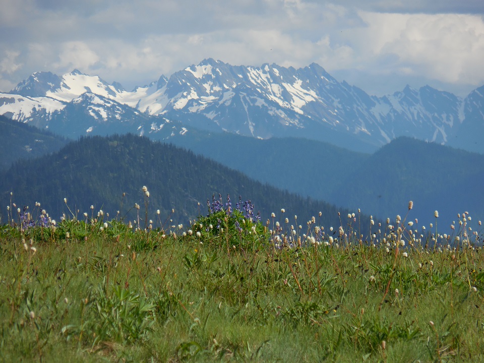 | Three paved paths leave the north side of the main parking lot. The 400-foot center path to the overlook is the widest with the easiest slopes, and Big Meadow Trail runs 0.25 mile at up to 9%. Check the official ridge page for restroom and service availability. | The overlook path still reaches 6-13%, and Cirque Rim 12-20%. Pack food and water before the drive, and check ridge services and road access. |
| Hurricane Hill Trail | Paved and 96 inches wide, at 5-9% for the first half-mile. The trailhead is at the end of Hurricane Hill Road, 2 miles beyond the main Hurricane Ridge parking area. | The rest is very steep, with sections of 15-20% and 645 feet of elevation change, and it runs along an exposed edge. |
| Port Angeles: Olympic National Park Visitor Center | Wheelchair accessible with an accessible restroom, per NPS records. Films are captioned, with assistive listening at the desk. The Living Forest Trail starts right behind the building: 0.4 mile of compacted gravel, mostly 6% or less. | Living Forest has sections up to 12% and 72 feet of elevation change. |
| Elwha: Madison Falls | A 0.1-mile paved trail that gently slopes up to a 60-foot waterfall, with a vault toilet intended for wheelchair users by the gravel lot. | The parking area is gravel, with limited space and little room to turn around. Check the Elwha road approach before you go. |
Lake Crescent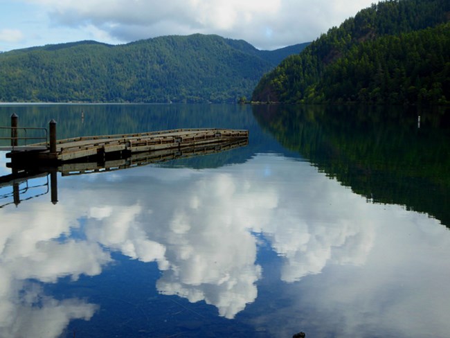 | Moments in Time Nature Trail is a 0.9-mile hard-packed loop, reached from Lake Crescent Lodge, the NatureBridge campus, or Storm King Ranger Station. The Spruce Railroad Trail is paved. | Moments in Time has uneven spots from tree roots. NPS publishes no slope figures for either trail. |
Hoh Rain Forest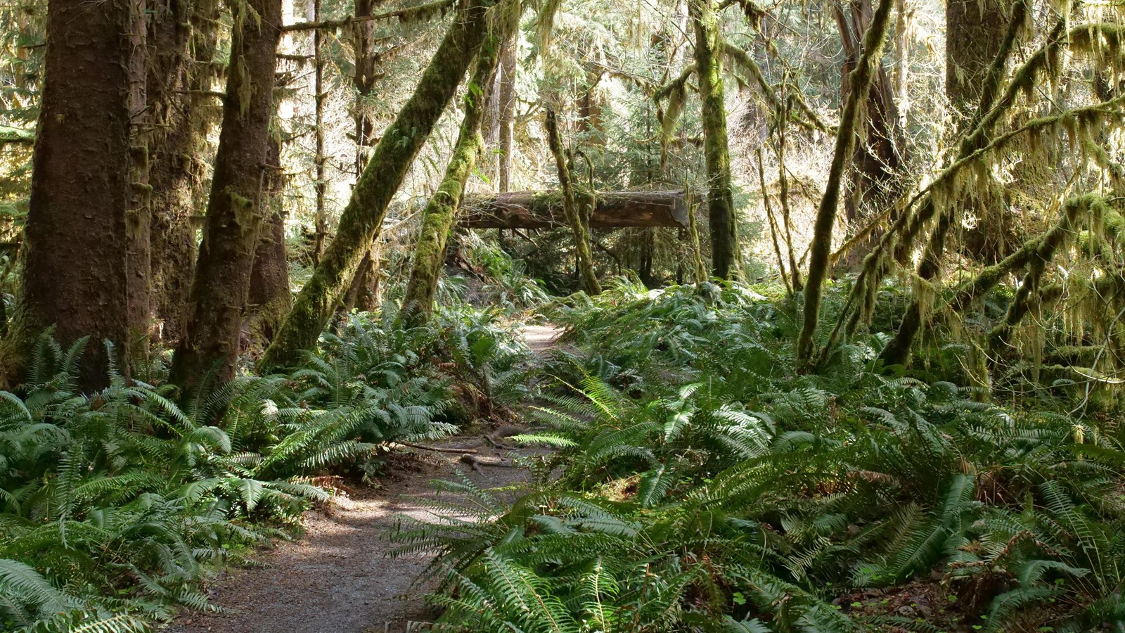 | The visitor center is wheelchair accessible with an accessible restroom, per NPS records, and the trail lot has 5 van-accessible spaces. The Mini Rain Forest Trail is a 0.1-mile gravel loop, 48-72 inches wide, under 5%. | Hall of Mosses and Spruce Nature Trail have steep sections of 7-25% and many steps. Traffic at the entrance station is metered once the parking lot fills, so the line builds through the middle of the day. |
| Quinault: Maple Glade and Kestner Homestead | Maple Glade Rain Forest Trail is 0.5 mile of compacted gravel, under 5% on average and 7% at most. From the trailhead kiosk, the Kestner Homestead is a 1.1-mile round trip under 5%. | Roots and bridges rise over 2 inches, there's at least one 4-inch step, and parts can flood October to May. |
Coast: Ruby Beach and Kalaloch | Ruby Beach has 3 van-accessible and 2 standard accessible spaces, restrooms, and an accessible overlook at the north end of the lot. At Kalaloch, a ramp leads from the parking area to the sidewalk, two toilets, and the Beach 4 trailhead. | No coastal beach has an accessible route. Vegetation can block the Ruby Beach overlook at sitting height. |
Compare the slopes
These are maximum running slopes, not an accessibility rating. Gentle averages can hide a steep stretch or a raised bridge.
| Route or section | Grade stated by the official source |
|---|---|
| Maple Glade Rain Forest Trail, maximum | 7% |
| Big Meadow Trail, maximum | 9% |
| Salmon Cascades to the overlook, maximum | 11% |
| Living Forest Trail, steepest sections | up to 12% |
| Path to the Hurricane Ridge overlook, maximum | 6-13%NPS: 6-13% |
| Four Stream Trail, maximum | 16% |
| Hurricane Hill, past the first half-mile | 15-20%NPS: 15-20%; first half-mile 5-9% |
| Cirque Rim Trail, maximum | 12-20%NPS: 12-20% |
| Hall of Mosses, steep sections | 7-25%NPS: 7-25%, usually under 50 ft long |
How to read these grades
Maximum running slopes from the NPS physical and mobility accessibility page. Where NPS gives a range, the bar shows the top of it. NPS states no reference grade, so the chart has no reference line.
Visitor centers, restrooms, and water.
Plan water and restroom stops within each area. Check Hurricane Ridge services before leaving Port Angeles.
Visitor-center access and restroom locations
NPS records list the Olympic National Park Visitor Center in Port Angeles and the Hoh Rain Forest Visitor Center as wheelchair accessible with accessible restrooms. At Hurricane Ridge, check official facilities and services before leaving Port Angeles. Madison Falls has a vault toilet intended for wheelchair users. NPS says travel between park areas can take half an hour to four hours or more, so plan food, water, and restroom stops for each area separately. Check facility hours before a holiday trip.
Picking a trail by slope, and passes.
NPS publishes trail dimensions and barriers but does not name a chair loan on these pages. Bring suitable equipment and ask about powered devices.
Read the steepest section
NPS lists length, surface, width, slopes, and barriers. Paved Hurricane Hill becomes very steep beyond the first half-mile. Official details.Bring suitable equipment
NPS does not name a chair loan or rental. Ask about powered-device use before selecting a route. Official details.Equipment, transportation and Access Pass details
The NPS physical and mobility page gives length, surface, width, slope, and barriers for trails in every area of the park. Read the running slope first. The steep sections on Hall of Mosses and Spruce Nature Trail are usually under 50 feet long, with gentle stretches in between. For the gentlest measured walks, look at the Mini Rain Forest Trail at the Hoh (under 5%), Big Cedar Trail at Kalaloch (0.3 mile, under 7%), and Salmon Cascades on Sol Duc Road (190 feet to a viewing platform, 11% at most). The mobility page also measures Big Cedar Trail at Staircase under 5%. Check official conditions before choosing that route.
NPS pages name no wheelchair loan or rental, and the mobility page doesn't address scooters or other power-driven devices, so bring your own chair and ask the park about anything motorized before you go.
U.S. citizens and residents with a permanent disability can get the free Access Pass, which the park says also takes 50% off camping, and our Olympic fees page has the details.
Seeing Olympic from the car.
Olympic is a set of separate road approaches around the mountains. Choose one area and check that approach before a long drive.
Much of Olympic works as a series of short stops near parking. Good ones for a wheelchair are the Hurricane Ridge overlook path, the Ruby Beach overlook, the Salmon Cascades platform, and Madison Falls. Hurricane Ridge Road is 17 miles and fully paved, but it opens or closes depending on conditions.
Highway 101 links the separate park approaches around the mountains. Check the official road information for the whole route, including the Hoh River crossing and Mora Road, before a long drive. At the Hoh Rain Forest, traffic is metered once the lot fills, so allow time for an entrance queue. Our Olympic road closures page links the main approaches.
Hearing, vision and service animals
Port Angeles has captioned films and listening equipment. Ranger-program interpreting and accessible brochure formats need their own planning.
Films and ranger programs
Port Angeles films have captions and assistive listening. Request a free ASL interpreter for a ranger program at least two weeks ahead. Official details.Brochure formats
The park brochure has audio description, a braille-ready file, and a text version. Ask the information desk for a braille copy. Official details.Services by location and service-animal rules
Films at the Olympic National Park Visitor Center are captioned and have assistive listening, so ask at the information desk to borrow a device. Videos on the park website are captioned too. For assistive listening at a ranger program, or a free ASL interpreter, contact the park at least 2 weeks ahead by email or at (360) 565-3130 (NPS Deaf and hearing loss page). The park brochure comes in an audio-described version of about 50 minutes in 22 sections, a braille-ready file, and a text version, and you can pick up a braille copy at the information desk (NPS park brochure page).
Service dogs are legally permitted anywhere visitors can go. Under NPS policy they are dogs individually trained to perform a specific task for a person with a disability, and emotional support animals and service dogs in training count as pets. Keep a service dog on a leash no longer than 6 feet. NPS doesn't recommend taking any dog into tidal areas or onto tidal rocks, where sharp stones, barnacles, and mussels can cut paws, and it warns that elk, bears, and deer can unsettle a service animal (NPS service animals page). Wildlife distances are on our Olympic with kids page.
Accessible campsites and lodging.
Campground surfaces and restroom access vary by loop. Ask each lodge about the room and bathroom features you need.
Campsites, facilities and booking details
NPS campground records describe access campground by campground. Hoh has accessible restrooms, paved campsites, and picnic table extensions. So does Heart O' the Hills, the closest campground to Hurricane Ridge and open all year, with its accessible restrooms in loops A and C. Kalaloch has accessible restrooms in loops A and D, with paved sites and table extensions in Loop D. Mora has accessible restrooms, paved sites, and extensions in Loop B. Fairholme has accessible restrooms in loops A and C and paved sites in Loop A. Graves Creek and Deer Park have an accessible vault toilet but no paved sites. Ozette has no accessible restroom in the campground, and North Fork is not ADA accessible. Booking is on our Olympic camping page. For a room, ask Sol Duc Hot Springs Resort, Lake Crescent Lodge, or Kalaloch Lodge directly about the doorway, bathroom, and transfer features you need. Check the operator's seasonal schedule before booking.
Plan a manageable day
Give the ridge, rain forest, and coast their own days. Long drives can use more energy than the short walk at the destination.
Route planning, seasons and rest breaks
Take one area a day. Getting between areas can take up to four hours or more, so a Hurricane Ridge day and a Hoh day are separate trips. A gentle Port Angeles day could pair the Living Forest Trail behind the visitor center with the drive up to the ridge, with lunch and water packed.
Winter changes Hurricane Ridge access. Road operation depends on the winter schedule and weather. Confirm facilities and warming options before the drive. Our Olympic in winter page explains the normal planning limits, and the best time to visit Olympic page compares months.
Questions about Olympic accessibility
Quick answers to the practical questions below.
Is Hurricane Ridge wheelchair accessible?
Partly. Three paved paths leave the main parking lot, and the center path to the overlook has the easiest slopes, though it still reaches 6-13%. Big Meadow Trail tops out at 9%, and Cirque Rim reaches 12-20%. Check official road access and ridge services before you go.
Are any beaches in Olympic National Park wheelchair accessible?
No. NPS says there is no accessible route to any coastal beach in the park, because downed trees, ocean levels, and the shifting coast change the access. Ruby Beach has accessible parking and an accessible overlook at the north end of its lot, so you can see the beach from above.
Can you just drive through Olympic National Park?
You drive around it more than through it. NPS says travel between park areas can take half an hour to four hours or more, and Highway 101 is one lane each way. Check each road approach and the Hoh River crossing before setting an itinerary.
Do disabled visitors get into Olympic National Park free?
U.S. citizens and residents with a permanent disability can get the free lifetime Access Pass, which covers entry and, per the park, 50% off camping. ASL interpreters for ranger programs are also free, with two weeks' notice.
How we built this page.
An independent guide using official data. Not affiliated with or endorsed by the National Park Service.
- Official guidance
- NPS and the relevant operators. The linked official pages support the access, facilities and rules described here. Confirm details before traveling.
- Schedules and conditions
- Planning patterns, not live status. Seasonal information describes the normal pattern or explicitly dated source schedule. Current conditions are handled separately. The official source is the place to confirm today’s access.
Topic sources and data details
Trail lengths, surfaces, widths, slopes, barriers, parking, beach access, and Madison Falls come from the NPS physical and mobility accessibility page; Hurricane Ridge services and the rebuild from the NPS post-fire page; captions, assistive listening, and ASL from the NPS Deaf and hearing loss page; brochure formats from the NPS park brochure page; service animal rules from the NPS service animals page.
Where NPS gives a slope range, the chart shows its top value. The one-area-a-day plan is our own.
Operational source check: September 11, 2026. Design and emphasized source review: 2026-10-23. A design review does not refresh every underlying record.