Crowd snapshot.
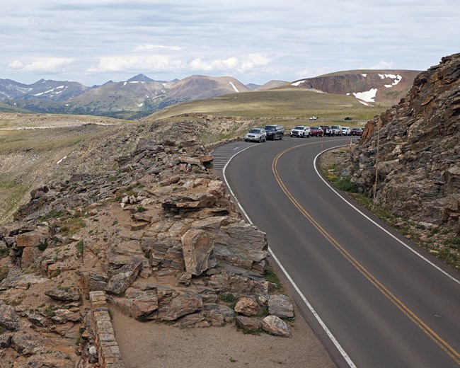
June runs about 627,000 recreation visits in the five-year mean — about 79% of July's peak and well into Rocky Mountain's heavy-traffic band. The Bear Lake corridor sees its first sustained sold-out weekends, with timed-entry+ permits going within minutes of release. The free Bear Lake Road shuttle is at full schedule and is the practical access route to the Bear Lake, Glacier Gorge, and Sprague Lake trailheads. Estes Park lodging runs at near-sold-out on weekends and steadies through midweek. Trail Ridge pullouts at Forest Canyon Overlook and Rock Cut see persistent afternoon crowding.
| Field | Value |
|---|---|
| June recreation visits (5-yr mean) | 627,290 |
| Share of July's peak | 79% |
| Crowd band | high |
| Park's busiest month (5-yr mean) | July |
| Park's quietest month (5-yr mean) | February |
Weather snapshot.
The Estes Park NOAA station records a June high near 73.4°F and a low near 44.2°F. Snowfall ends at the cooperative elevation by early month; high country above 10,000 ft can still see late-June storm flurries. Afternoon thunderstorms above treeline begin to build through the month: clear morning, cumulus by late morning, lightning by early afternoon on active days. Days are the year's longest, with usable photography light extending past 8:30 p.m. local time. Mosquitoes intensify at lower-elevation riparian areas — Sprague Lake and the lower Fall River corridor are the worst stretches.
| Field | Value |
|---|---|
| Average high (°F) | 73.4 |
| Average low (°F) | 44.2 |
| Precipitation (inches) | 1.85 |
| Snowfall (inches) | 0.4 |
| Weather band | warm |
| Station | Estes Park, CO at 7,522 ft |
Access snapshot.
Trail Ridge Road is reliably open over the Continental Divide in June; verify current status on the NPS Rocky Mountain conditions page. Old Fall River Road remains closed — typical opening is early July per NPS Trail Ridge Road page. The Timed Entry+ Bear Lake Road permit window runs daily through the month per the NPS timed-entry page — without one, Bear Lake corridor entry between 5 a.m. and 6 p.m. is restricted. All in-park summer campgrounds are open and reservable through Recreation.gov. Estes Park and Grand Lake lodging at full schedule.
| Field | Value |
|---|---|
| June access score (0-100) | 90 |
| Year-round route | Bear Lake Road + east-side US-36 / US-34 corridors (Trail Ridge Road closed mid-October through late May) |
| Verify current road and permit status | Official NPS Rocky Mountain conditions page |
Seasonal events.
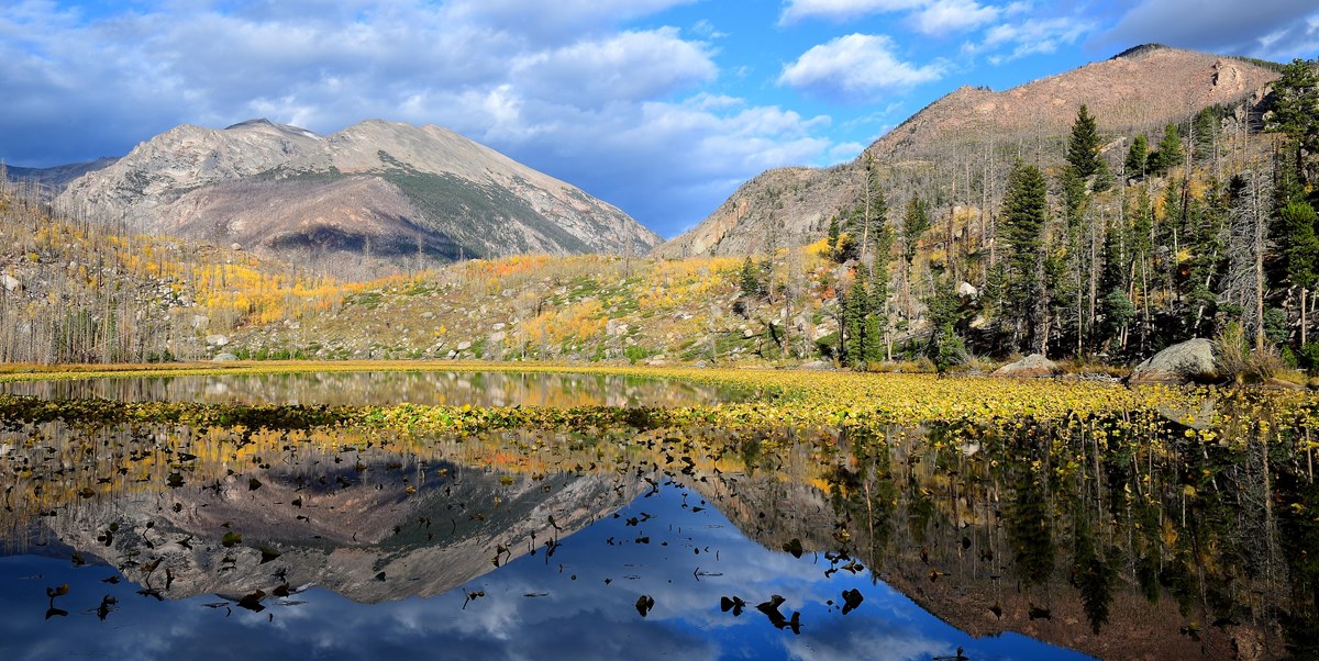
June is wildflower-explosion month at the subalpine and alpine elevations. Lower-meadow blooms (paintbrush, mountain blue columbine — the state flower — penstemons, larkspur) peak through the first three weeks, and alpine tundra wildflowers near the Tundra Communities Trail and Rock Cut start their peak in late month and through July. Elk calves are common in the lower montane meadows. Hummingbirds at full activity (NPS Rocky Mountain birds). Lakes at lower elevations are thawed; Bear Lake briefly fingertip-swimmable on the warmest afternoons. Waterfalls run hardest of the year on the snowmelt — Alberta Falls, Calypso Cascades, and Ouzel Falls all carry their strongest flow.
Audience verdict.
June serves visitors who want full Trail Ridge access with pre-monsoon stability and the longest daylight of the year. Photographers gain wildflower foregrounds with alpine summit backdrops. Families locked to early-summer school breaks should book lodging and timed-entry permits well ahead; afternoon thunderstorms above treeline are routine, so any high-elevation plan needs an early start and a turnaround before mid-afternoon. RV travelers benefit from full campground operations; Old Fall River Road remains off-limits to trailers and rigs over 25 ft until July anyway. Anyone optimizing for solitude should wait for September; the Memorial-Day-through-Labor-Day window is now firmly peak.
Methodology
Monthly recreation visits come from the official NPS Visitor Use Statistics Data Package, 2025 on NPS IRMA Stats; the statistic shown is Recreation Visits, the 5-year mean across 1979-2025. Climate normals come from NOAA NCEI's 1991-2020 U.S. Climate Normals at Estes Park, CO (station USC00052759, 7,522 ft elevation). The access score weights named park roads by route importance for typical wheeled-vehicle openings that month. Year-variable specifics — exact Trail Ridge Road open/close dates, Old Fall River Road dates, the Timed Entry+ Bear Lake Road corridor permit window — drift year to year and are hedged in the editorial above; confirm current dates on the official NPS Rocky Mountain page before booking. Independent site, not affiliated with the National Park Service.
Independent site. Not affiliated with or endorsed by the National Park Service. Data comes from the official NPS Visitor Use Statistics Data Package, 2025; editorial analysis is ours. The NPS Arrowhead and other NPS marks are not used.