
SBN: airport rail station
South Shore Line trains connect South Bend Airport with northwest Indiana and Chicago. Use the current timetable and allow for the station-to-park leg.
Compare Chicago Midway (MDW) and O’Hare (ORD) for Indiana Dunes’ west end, and South Bend (SBN) for the east. MDW’s route to the west access is 35 miles; SBN’s route to Mount Baldy is 41 miles. SBN also has a South Shore Line station, with a final walk or transfer needed for park destinations.
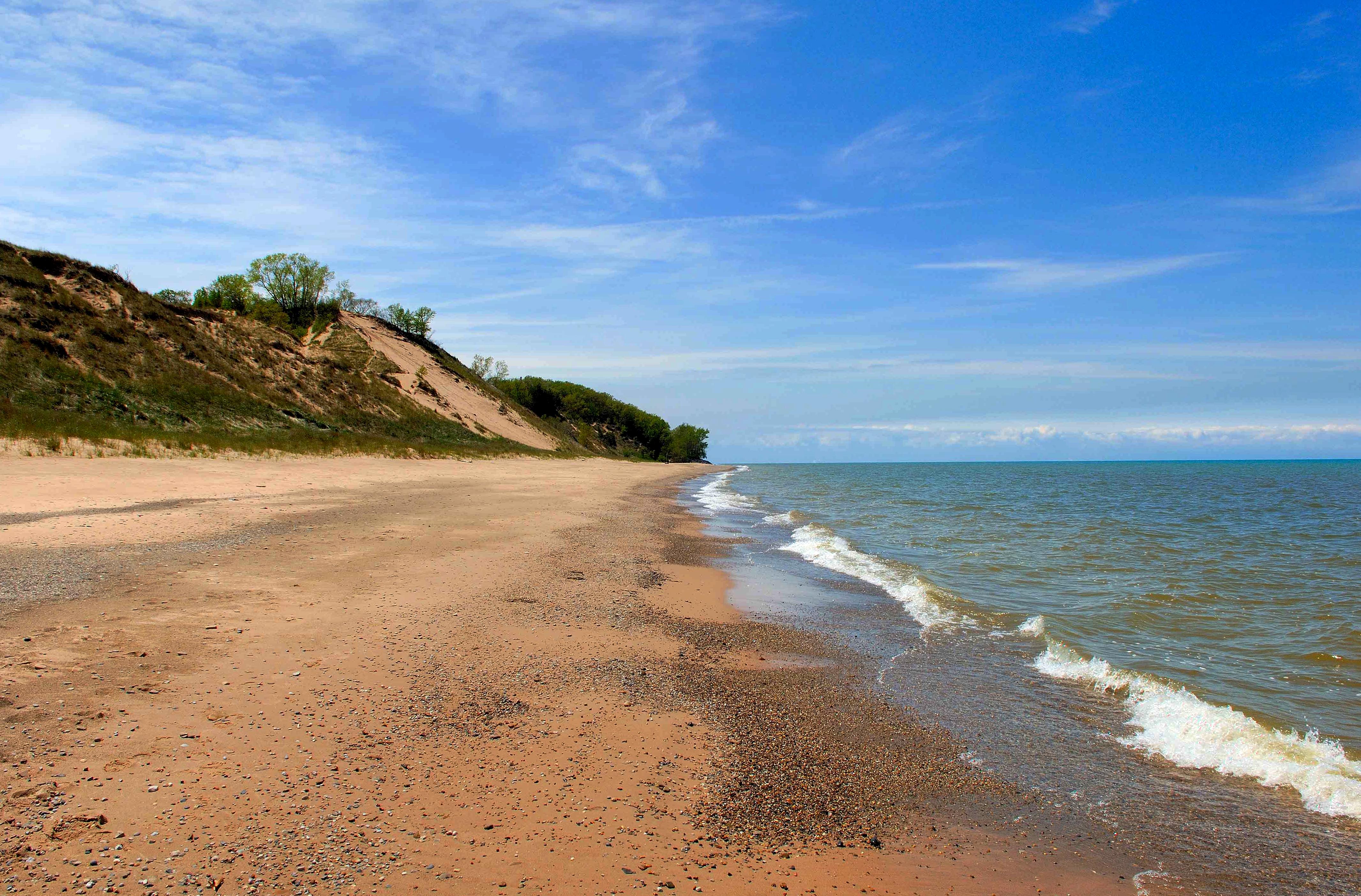
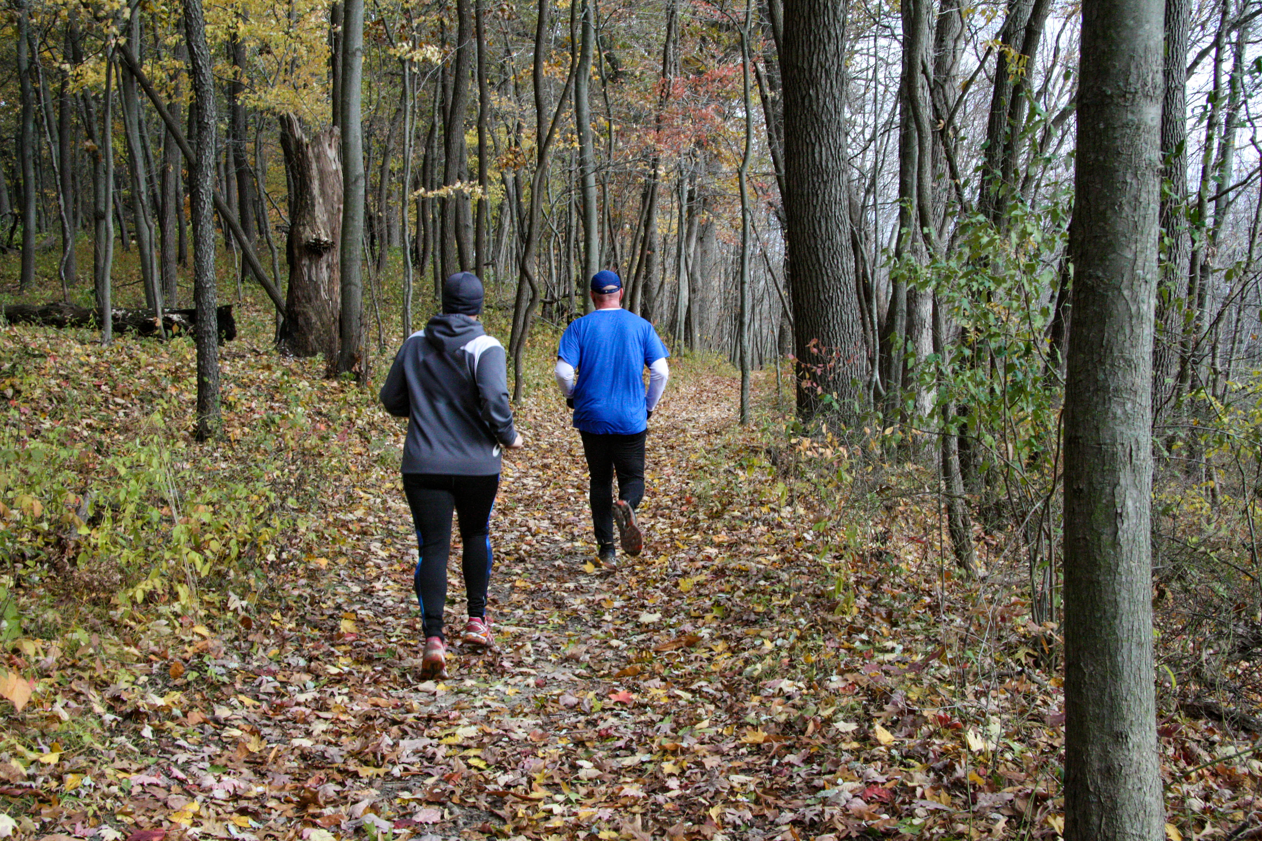
Confirm that your intended gateway and approach roads fit your travel dates.
Check airport service, onward transport and the park’s arrival guidance.
Check weather hazards, construction and restrictions before your journey.
These drives use two different access points. Chicago traffic and your final beach or trailhead can change the best choice.
| Airport | Choose it for | Journey to entrance / gateway | Flights |
|---|---|---|---|
| MDWChicago Midway InternationalChicago, IL | Compare for west-end visits | 35 mi · 1 hWest Access (Paul H. Douglas Center)Check destination hours and road conditionsRouted to the named access point, not every beach, trailhead or visitor facility. | Chicago airline airport |
| SBNSouth Bend InternationalSouth Bend, IN | East-end visits or rail connection | 41 mi · 1 h 2 minEast Access (Mount Baldy)Check destination hours and road conditionsRouted to the named access point, not every beach, trailhead or visitor facility. | Airline airport with South Shore station |
| ORDChicago O'Hare InternationalChicago, IL | Alternative Chicago flights | 55 mi · 1 h 43 minWest Access (Paul H. Douglas Center)Check destination hours and road conditionsRouted to the named access point, not every beach, trailhead or visitor facility. | Chicago airline airport |
Compare west-side road arrivals from Chicago with the eastern approach from South Bend.
3 routes
| Airport | Destination | Routed distance | No-stop drive | Approach notes |
|---|---|---|---|---|
| ORD | West Access (Paul H. Douglas Center) | 55 mi · 88 km | 1 h 43 min | Check destination hours and road conditionsRouted to the named access point, not every beach, trailhead or visitor facility. |
| MDW | West Access (Paul H. Douglas Center) | 35 mi · 56 km | 1 h | Check destination hours and road conditionsRouted to the named access point, not every beach, trailhead or visitor facility. |
| SBN | East Access (Mount Baldy) | 41 mi · 66 km | 1 h 2 min | Check destination hours and road conditionsRouted to the named access point, not every beach, trailhead or visitor facility. |
South Bend offers a rail connection. Choose your destination before deciding a rental car is unnecessary.
South Shore Line trains connect South Bend Airport with northwest Indiana and Chicago. Use the current timetable and allow for the station-to-park leg.
From Dune Park station, NPS gives a 1.33-mile walk or ride south to the national park visitor center. Other stations serve different destinations; check the route before arriving.
South Bend Airport uses Eastern Time; the other South Shore stations use Central Time. The operator’s schedules show local station times.
Quick answers to the practical questions below.
Compare MDW and ORD for the west end, and SBN for the east. MDW’s route here ends at west access; SBN’s ends at Mount Baldy, so choose your first park destination before comparing the drive.
The routed drive from MDW to west access is 35 miles, about 1 h before traffic and stops. Chicago congestion can add time, and other park destinations require additional driving.
Yes. The South Shore Line serves South Bend Airport and stations around the park. Plan the final walk or transfer: for example, NPS puts the national park visitor center 1.33 miles south of Dune Park station.
The ORD-to-west-access route is 55 road miles, about 1 h 43 min without traffic or stops. Allow extra time for Chicago traffic, particularly before a return flight.
NPS lists Gary among nearby airports, but this page compares the three routed airline choices: MDW, ORD and SBN. Check an airport or airline’s booking schedule before planning passenger travel through Gary.
Selected destinations are reachable from South Shore Line stations with a walk or onward connection. It does not deliver you to every beach or trailhead. Choose your destination and inspect the complete route before deciding.
An independent guide using official data. Not affiliated with or endorsed by the National Park Service.
Airport choices, normal access patterns and transport guidance come from the official sources linked in this page. Check actual flights, transfer schedules and road status before booking. No airport is assumed to be universally cheapest.
Route distances and no-stop journey estimates come from committed OSRM calculations on OpenStreetMap roads, generated 2026-09-10. Airport coordinates come from OurAirports. Every displayed destination is named; a route ending at an entrance or gateway does not include further travel to your hotel or sights.
Road routes only. The South Shore Line option is separate; its stations do not serve every park destination.
Airport airline-service seasons and park-road seasons are different. Current closures and temporary restrictions belong to Current conditions and official pointers. A source review does not create an accepted table-verification date.
Operational source check: September 11, 2026. Design and emphasized source review: 2026-10-21. A design review does not refresh every underlying record.