Arches National Park in December

Arches National Park in December is a winter viewpoint trip with cold-weather preparation. Snow and ice can change the suitability of even a familiar arch trail.

National Sites Guide

Share this page

Cite this page

Copy a citation

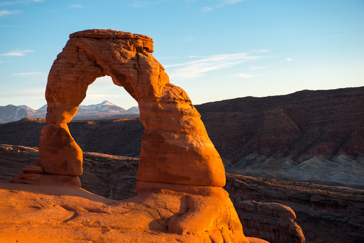
a stone arch
Delicate ArchNPS Photo
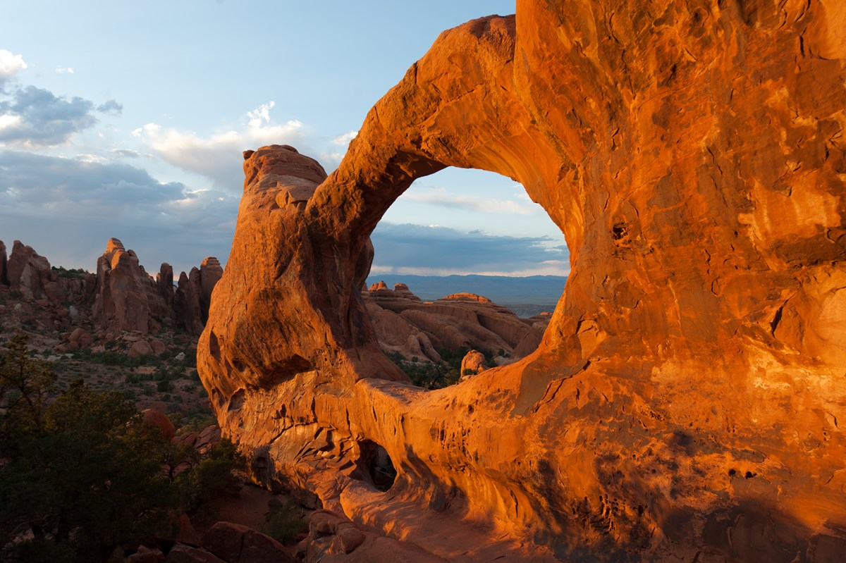
a broad, red arch with rock pinnacles in the background
Double O ArchNPS Photo

Check before you go

What to see and do in Arches in December

Choose a December outing that fits the route, weather and effort involved.

a stone arch
Delicate Arch · NPS Photo

Delicate Arch

Compare the short lower viewpoint with the uphill arch trail. Snow and ice can make the longer sandstone route unsuitable.

December · Delicate Arch
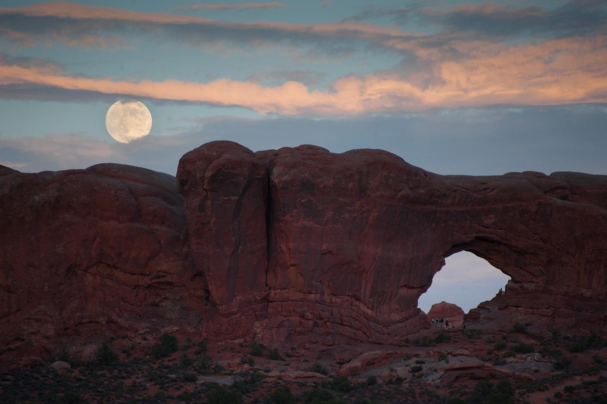
North Window sandstone arch under clouds and a rising moon
North Window · NPS/Neal Herbert

The Windows

Keep this as a shorter sandstone outing. The trail beyond its flat initial section has steps and uneven rock, which need a winter footing check.

December · The Windows

Arches weather in December

December’s normal high is 44°F and low is 22°F, with 0.76 inches of precipitation. Moab, Utah is a gateway station outside the park at about 4,053 ft. These numbers do not represent every trail or the higher Devils Garden district. Snow, ice and heat can differ at your stops.

Cooler Hotter
Jan
High44°F
Low21°F
Precip · in0.65
Feb
High52°F
Low27°F
Precip · in0.66
Mar
High65°F
Low36°F
Precip · in0.70
Apr
High72°F
Low43°F
Precip · in0.77
May
High83°F
Low51°F
Precip · in0.82
Jun
High94°F
Low59°F
Precip · in0.35
Jul
High99°F
Low66°F
Precip · in0.92
Aug
High96°F
Low64°F
Precip · in0.88
Sep
High88°F
Low55°F
Precip · in0.89
Oct
High74°F
Low42°F
Precip · in1.03
Nov
High57°F
Low30°F
Precip · in0.70
Dec
High44°F
Low22°F
Precip · in0.76

Arches crowds in December

December averages 48,970 recreation visits, 25% of the peak monthly average in May.

LowestLowModerateHighPeakAverage month: 128,797December

Tips for your December visit

Check the approach before choosing the rest of the day.

Arches approaches and visitor areas A marks the reviewed OpenStreetMap entrance toll-booth location. It is an entrance marker, not a proposed route or current access report. Main entranceAN
AMain entrance
  • Park boundary

Main entrance from US 191

The paved scenic-drive approach has a year-round operating pattern. Rain, snow and incidents can interrupt access. Check trail conditions and parking separately.

How we built this page.

An independent guide using official data. Not affiliated with or endorsed by the National Park Service.

Crowds
2021–2025 monthly averages. NPS recreation visits, compared with the park’s own busiest month. Visits are not unique visitors or a count of people on a trail.
Weather
1991-2020 climate normals. NOAA’s Moab, UT station. These describe typical weather at the station, not every part of the park or a forecast.
Roads & lodging
Normal seasonal schedules. NPS guidance and official operator information. Confirm access, hours and availability before you travel.