
Most visited national parks
The national ranking by recreation visits.
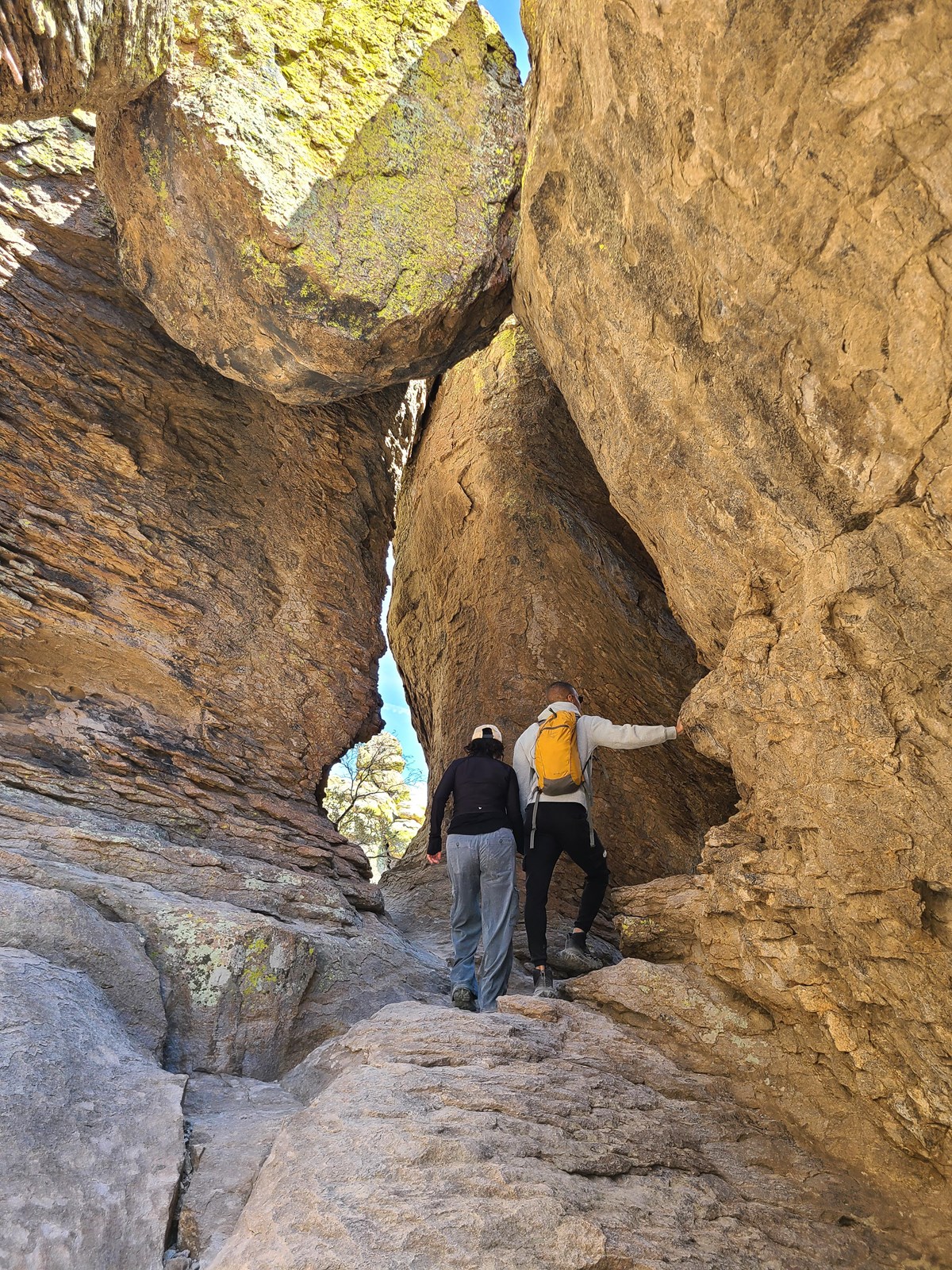
There are four national parks in Arizona: Grand Canyon, Petrified Forest, Saguaro and Chiricahua. Grand Canyon is by far the busiest. Petrified Forest pairs petrified wood with painted badlands. Saguaro protects giant cacti on both sides of Tucson. Chiricahua, a national park since October 20, 2026, is known for its rock spires.
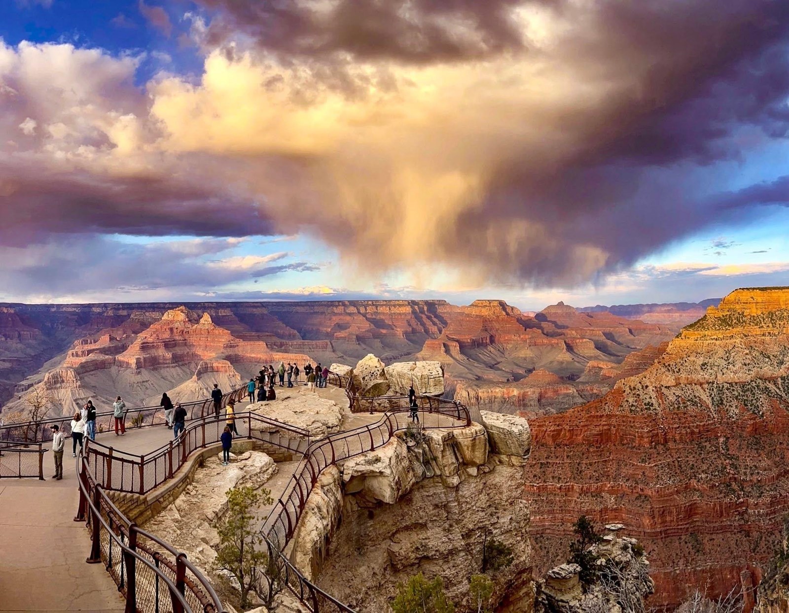
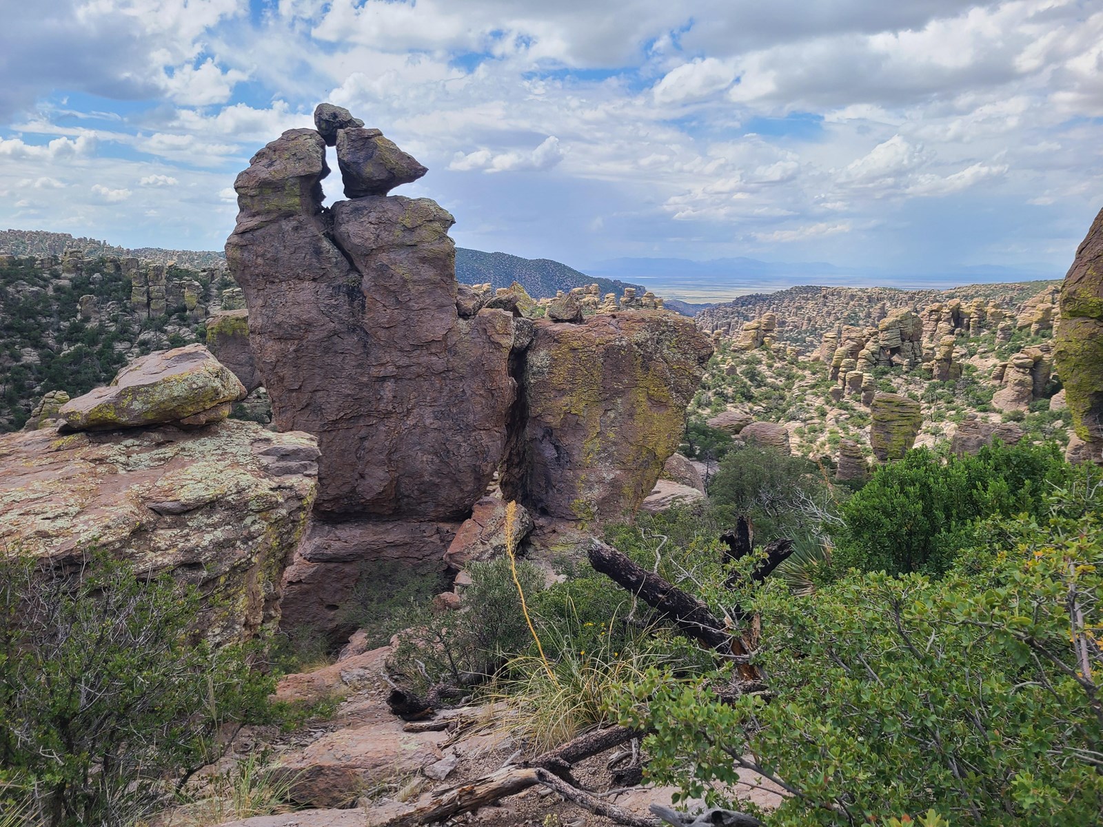

Open each park from the NPS Arizona directory. Closures, alerts and conditions are posted on the park’s own pages.
AZ511 is Arizona’s traveler information site, with traffic, cameras and travel times. Check your route before a long drive between parks.
NPS strongly discourages hiking the inner-canyon routes it names during the heat of the day, 10 a.m. to 4 p.m. Read its hiking guidance before you go below the rim.
Select a park on the map or in the list to see photos, what it is best for and when to go. Park areas are simplified NPS boundaries, colored to match the list. Land outside Arizona is muted.
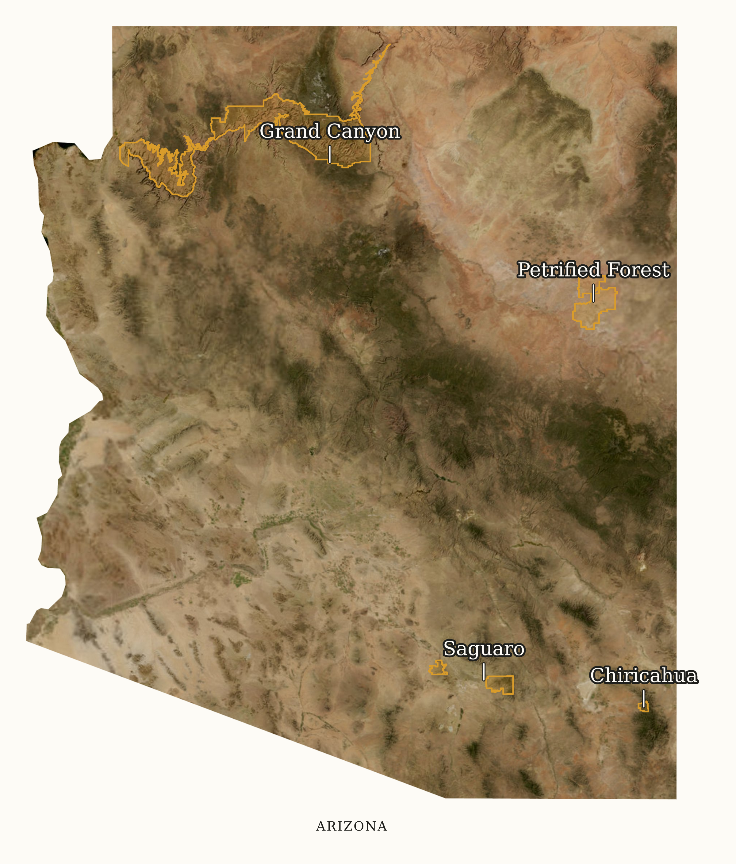
Customize or download the Arizona map. Change the names, marker style and background, or download a ready-made PNG or SVG.
Grand Canyon National ParkNorthern Arizona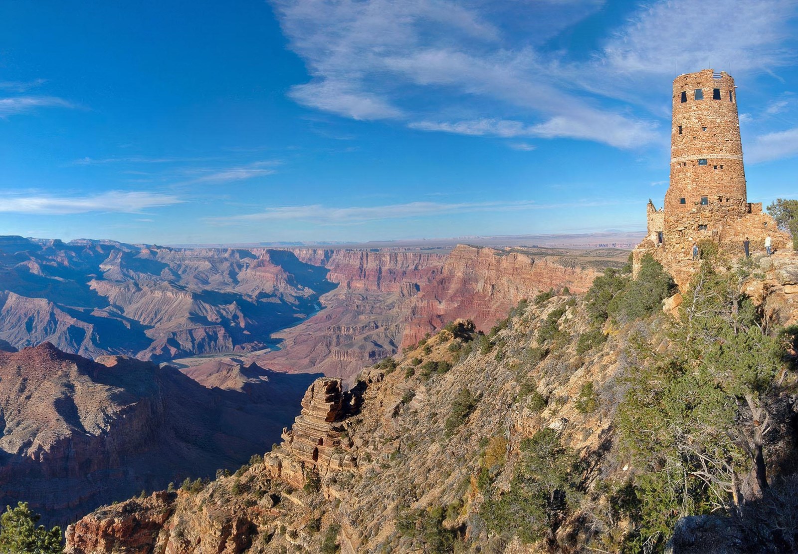 Petrified Forest National ParkNortheastern Arizona

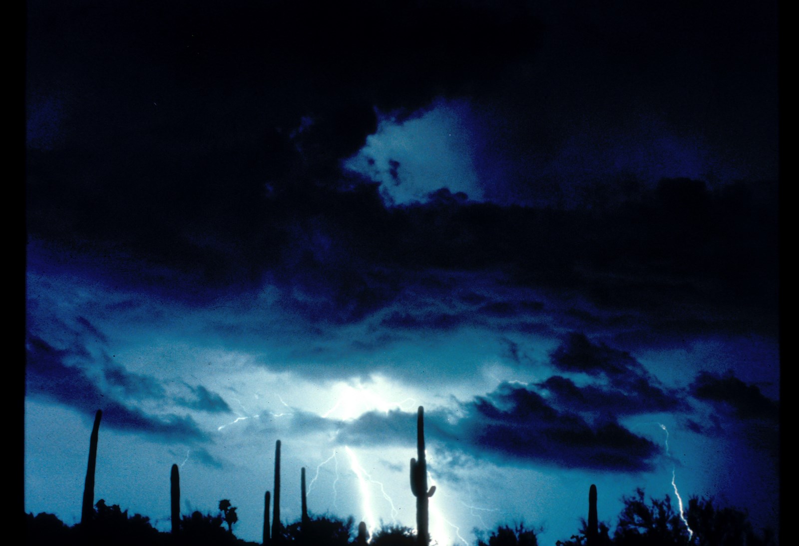 Saguaro National ParkTucson areaChiricahua National ParkSoutheastern Arizona
Shading shows how busy each month normally is for that park. Green outlines mark our reviewed best-time window.
Visits compared with each park's own busiest month
| Park | Jan | Feb | Mar | Apr | May | Jun | Jul | Aug | Sep | Oct | Nov | Dec | Timing |
|---|---|---|---|---|---|---|---|---|---|---|---|---|---|
| Moderate | Moderate | High, in our best-time window | High, in our best-time window | Peak, in our best-time window | Peak | Peak | Peak | High, in our best-time window | High, in our best-time window | High, in our best-time window | Moderate | March to May and September to November | |
Petrified Forest | Moderate | Moderate | High | High | Peak | Peak | High | High | High | High | Moderate | Moderate | Open all year except Thanksgiving and Christmas |
| High, in our best-time window | High, in our best-time window | Peak, in our best-time window | High, in our best-time window | Moderate | Low | Low | Low | Low | Moderate | Moderate, in our best-time window | High, in our best-time window | November to April | |
Chiricahua | Moderate | Moderate | Peak | High | Moderate | Low | Low | Low | Low | Moderate | Moderate | Moderate | Busiest in March; quieter in summer |
Shading compares 2021–2025 average monthly recreation visits with the same park’s busiest month, so colors do not compare one park with another. Petrified Forest and Chiricahua have no reviewed window yet; their timing comes from NPS guidance.
Ranked by five-year average recreation visits, with the latest full year beside it. A visit counts an entry, not a unique person.
Bar length shows the 2021–2025 average. Bar color shows the park’s region on the map.
| Rank | National park | Average a year, 2021–2025 | 2025 visits | Busiest month, 2021–2025 average |
|---|---|---|---|---|
| 1 | Northern Arizona | 4,430,653 | July | |
| 2 | Tucson area | 847,749 | March | |
| 3 | Petrified Forest Northeastern Arizona | 315,951 | June | |
| 4 | Chiricahua1 Southeastern Arizona | 70,406 | March |
Find another stop: cliff dwellings, a young volcano, Sonoran Desert wilderness and the big reservoirs at Glen Canyon and Lake Mead.
Site locators, not entrances or directions. Numbered groups zoom to their individual places.
These 12 places are a starting selection. The full directory includes national historic trails and every other NPS source record for Arizona.
Marker positions are each unit's official NPS coordinates. State outline: U.S. Census cartographic boundary (public domain). Independent site, not affiliated with the National Park Service.
| Unit | Designation | 5-yr avg visits | Busiest month |
|---|---|---|---|
| Lake Mead National Recreation Area | National Recreation AreaLAKE | 6,305,736 | June |
| Grand Canyon National Park | National ParkGRCA | 4,669,660 | July |
| Glen Canyon National Recreation Area | National Recreation AreaGLCA | 3,929,828 | June |
| Saguaro National Park | National ParkSAGU | 958,601 | March |
| Petrified Forest National Park | National ParkPEFO | 498,248 | June |
| Montezuma Castle National Monument | National MonumentMOCA | 369,876 | April |
| Canyon de Chelly National Monument | National MonumentCACH | 320,106 | August |
| Wupatki National Monument | National MonumentWUPA | 193,533 | June |
| Walnut Canyon National Monument | National MonumentWACA | 176,959 | April |
| Organ Pipe Cactus National Monument | National MonumentORPI | 173,600 | March |
| Coronado National Memorial | National MemorialCORO | 148,970 | March |
| Tuzigoot National Monument | National MonumentTUZI | 107,747 | March |
| Sunset Crater Volcano National Monument | National MonumentSUCR | 88,713 | March |
| Casa Grande Ruins National Monument | National MonumentCAGR | 86,277 | March |
| Chiricahua National Park | National ParkCHIR | 63,834 | March |
| Hubbell Trading Post National Historic Site | National Historic SiteHUTR | 43,417 | September |
| Navajo National Monument | National MonumentNAVA | 40,535 | September |
| Tumacácori National Historical Park | National Historical ParkTUMA | 34,744 | December |
| Tonto National Monument | National MonumentTONT | 30,411 | March |
| Pipe Spring National Monument | National MonumentPISP | 22,908 | May |
| Fort Bowie National Historic Site | National Historic SiteFOBO | 8,550 | March |
| Butterfield Overland National Historic Trail | National Historic TrailBUOV | — | — |
| Juan Bautista de Anza National Historic Trail | National Historic TrailJUBA | — | — |
| Old Spanish National Historic Trail | National Historic TrailOLSP | — | — |
| Grand Canyon-Parashant National Monument | National MonumentPARA | — | — |
More than 1.25 million acres for water-based and backcountry recreation, from Lees Ferry in Arizona to the Orange Cliffs of southern Utah.
Glen Canyon National Recreation AreaA recreation area shared with Nevada: 1.5 million acres of mountains, canyons and reservoirs for boating, fishing, hiking and camping.
Lake Mead National Recreation AreaA lava flow and cinder landscape from an eruption about a thousand years ago, the most recent in the San Francisco volcanic field.
Sunset Crater Volcano National MonumentWupatki Pueblo has more than 100 rooms. Its trail also passes an ancient ball court and a natural blowhole.
Wupatki National MonumentThe one-mile round-trip Island Trail gives access to 25 cliff dwellings in the canyon walls.
Walnut Canyon National MonumentEstablished in 1906, it is the third national monument dedicated to preserving Native American culture.
Montezuma Castle National MonumentTwo cliff dwellings occupied from 1300 to 1450 CE. NPS offers the Upper Cliff Dwelling only by guided tour.
Tonto National MonumentThe park and the Navajo Nation manage it together. See it from the overlooks or the White House Trail, or tour the canyon with a Navajo guide.
Canyon de Chelly National MonumentHubbell’s in Ganado has been selling goods and trading Native American art since 1878.
Hubbell Trading Post National Historic SiteA wilderness hike, a scenic drive or a night of camping in a desert full of plants and animals.
Organ Pipe Cactus National MonumentIn the Santa Cruz River valley, O’odham, Yaqui and Apache people met European missionaries, settlers and soldiers.
Tumacácori National Historical ParkFor nearly 25 years the fort stood at the crossroads of the Chiricahua Apache’s defense of their homeland and the U.S. Army’s westward expansion.
Fort Bowie National Historic Site12 places
Short answers, with the official source for each.
Four: Grand Canyon, Petrified Forest, Saguaro and Chiricahua. Arizona also has national monuments, historic sites and national recreation areas run by the National Park Service. NPS Arizona directory
Grand Canyon, by average annual recreation visits from 2021 through 2025. The ranking on this page lists every park’s exact figures. NPS Visitor Use Statistics
On October 20, 2026, when the Chiricahua National Park Act, Public Law 119-133, was approved. The law renamed Chiricahua National Monument and kept its boundaries. Visit figures through 2025 were counted under the monument name. Public Law 119-133, Chiricahua National Park Act (GovInfo) Chiricahua becomes a national park (NPS news release)
No. NPS says the North Rim has a short season, and its entrance is 30 miles south of Jacob Lake on Highway 67. The South Rim is open all year. Grand Canyon North Rim directions (NPS) Grand Canyon hours and seasons (NPS)
Yes, but plan them as separate drives. NPS says the two districts are separated by the city of Tucson, and it recommends typing each district’s address into your map app because the districts are often confused. Saguaro directions and transportation (NPS)
Entrance fees and pass eligibility vary by park and visitor. Some parks charge non-U.S. residents an extra fee unless they have a qualifying pass. NPS says Chiricahua has no entrance or parking fees. Check each park’s own page for reservations. NPS entrance passes Chiricahua fees and passes (NPS) NPS Arizona directory
An independent guide using official data. Not affiliated with or endorsed by the National Park Service.
Rows in the broader directory come from our combined NPS metadata and Visitor Use Statistics registry, not the Park Service’s official census of managed system units. Per-record visit counts come from the NPS Visitor Use Statistics Data Package, 2025; the five-year average is the mean of 2021–2025 recreation visits. Multi-state records are listed under every state they touch, and their full visit total appears in each state. Official national park counts use our central national-park classification rather than the source designation label alone. Independent site, not affiliated with the National Park Service.