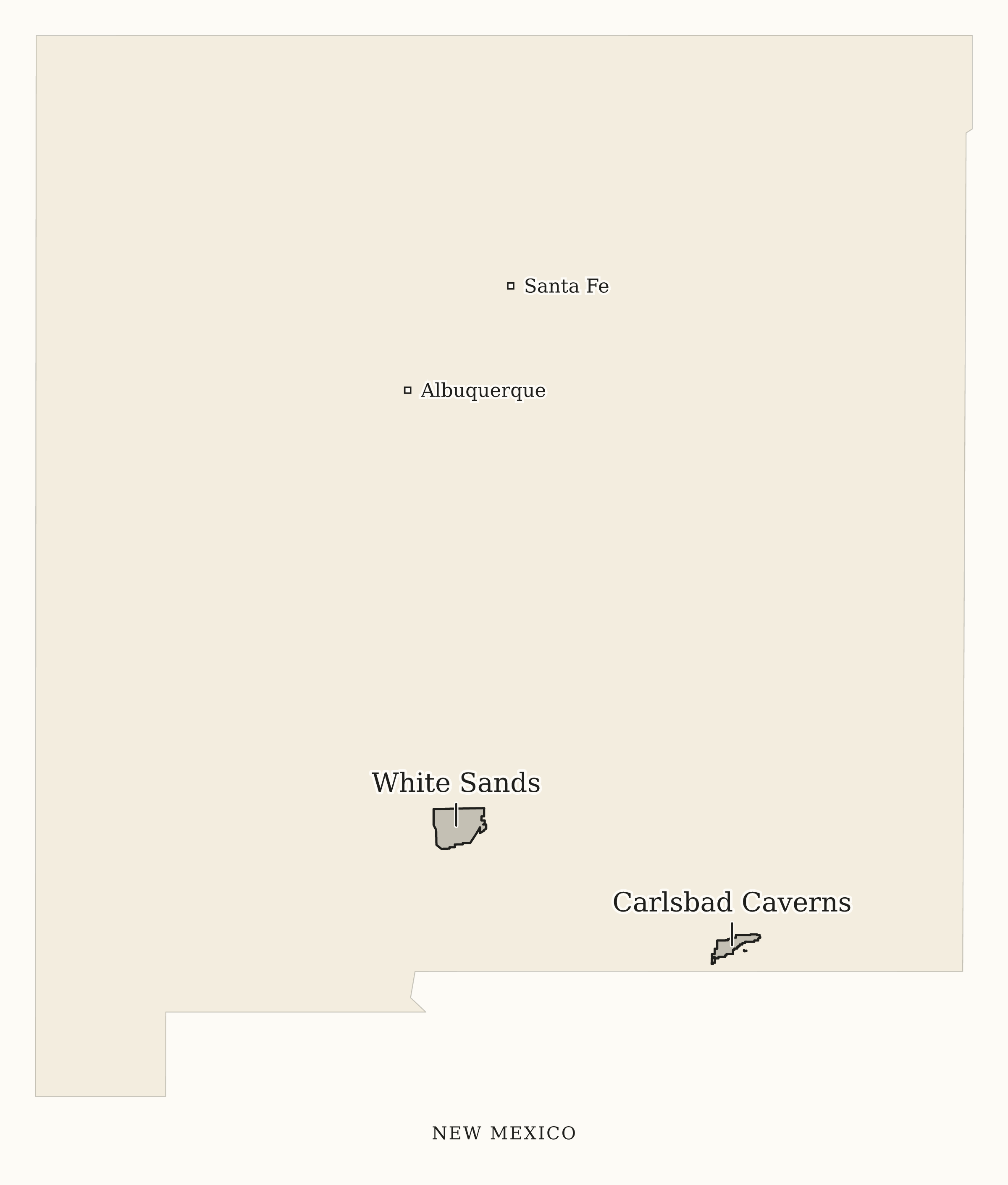
Print-friendly map
Light background, all park names and selected reference cities. Download an A4 or US Letter PDF with attribution.
This New Mexico national parks map shows 2 designated National Parks. Explore the park areas and names, or customize and download a free map.
This map shows 2 designated National Parks associated with New Mexico. Customize the names and background, or download a free printable PDF, PNG or editable SVG. Credit National Sites Guide when reusing your map. Park areas and dots show an overview, not entrances or routes.
This map shows all 2 designated National Parks associated with New Mexico. It does not include national monuments, state parks or every NPS site.
Choose a print-friendly PDF, a PNG image or an editable SVG. All 8 styles are free with attribution. You can also open any map in the builder.
Light background, all park names and selected reference cities. Download an A4 or US Letter PDF with attribution.
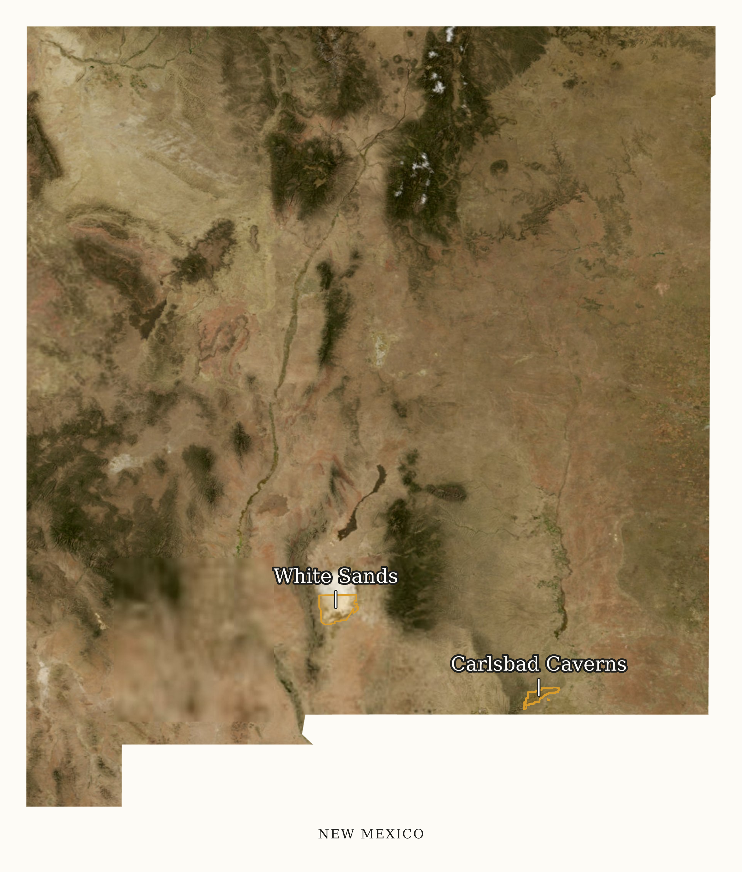
Named gold park areas over USGS satellite imagery. No roads or trail overlays.
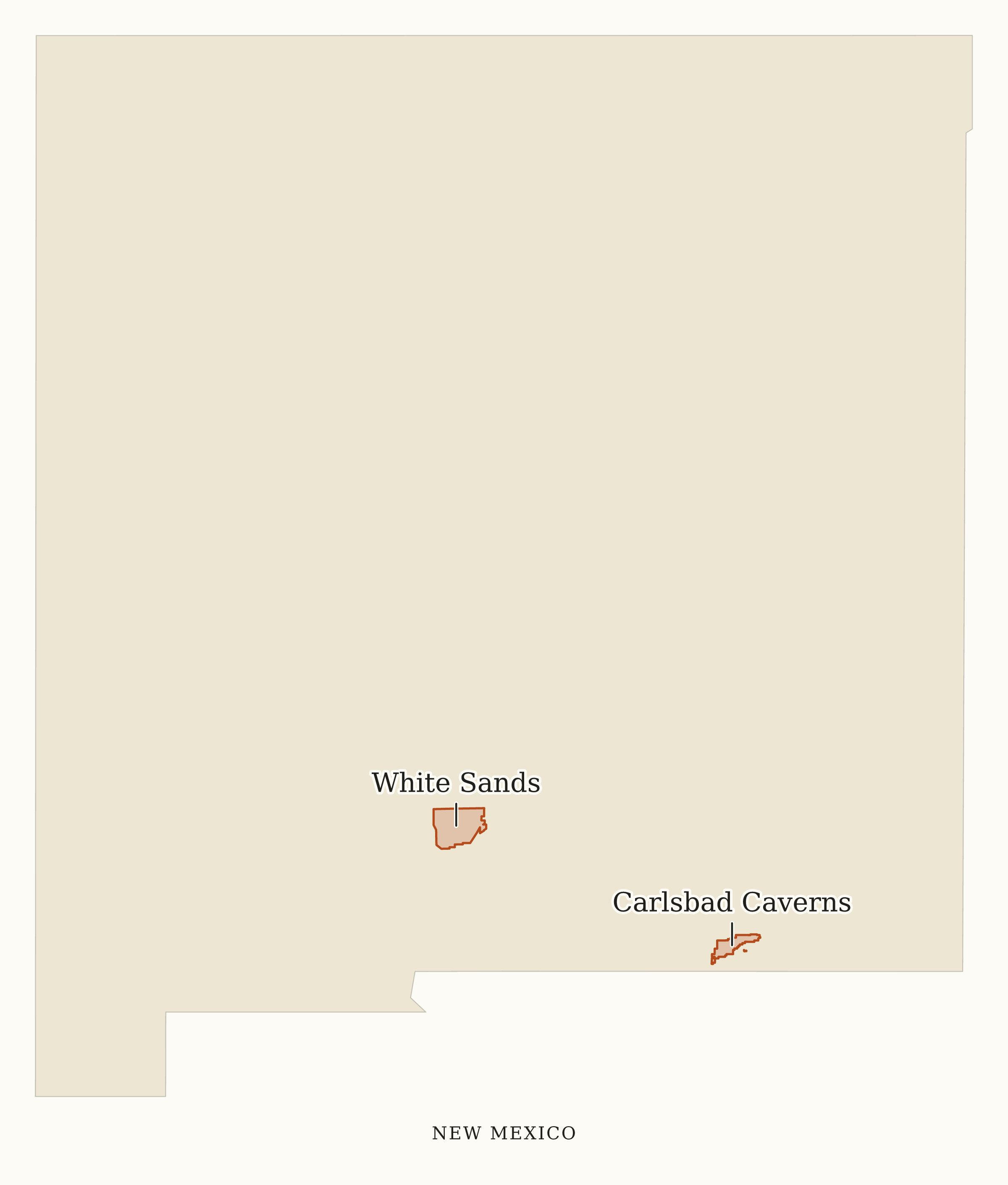
Every mapped place is named. Short callouts connect names when nearby labels need more space.
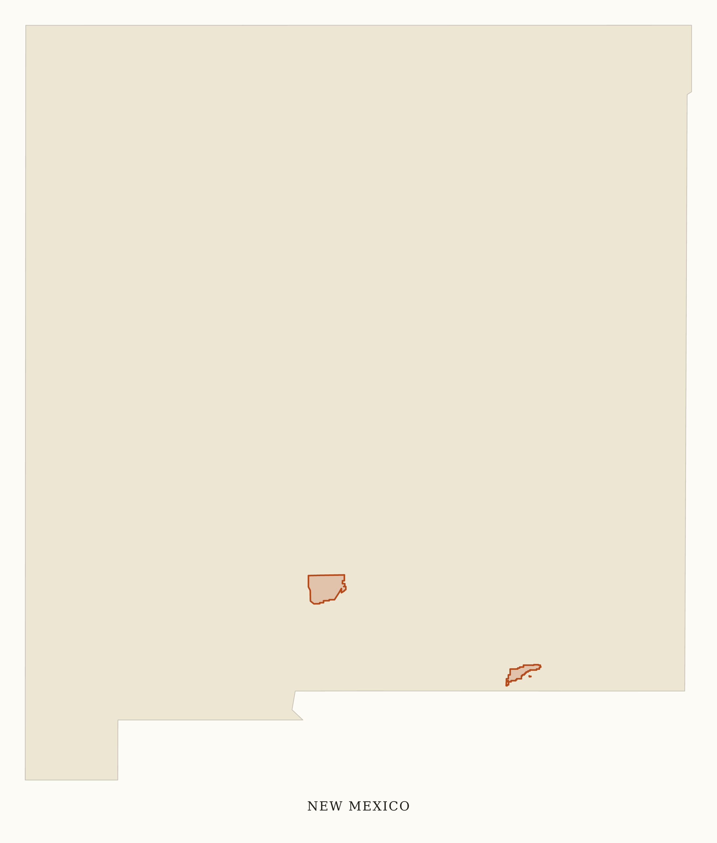
Park areas on warm paper. No place labels or watermark.
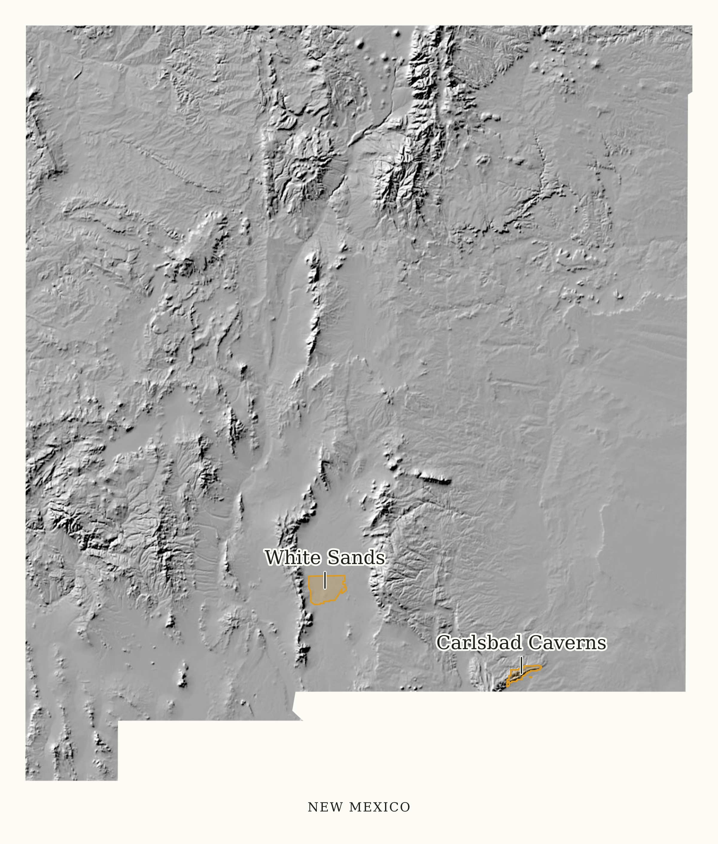
Gold park areas over USGS terrain shading.
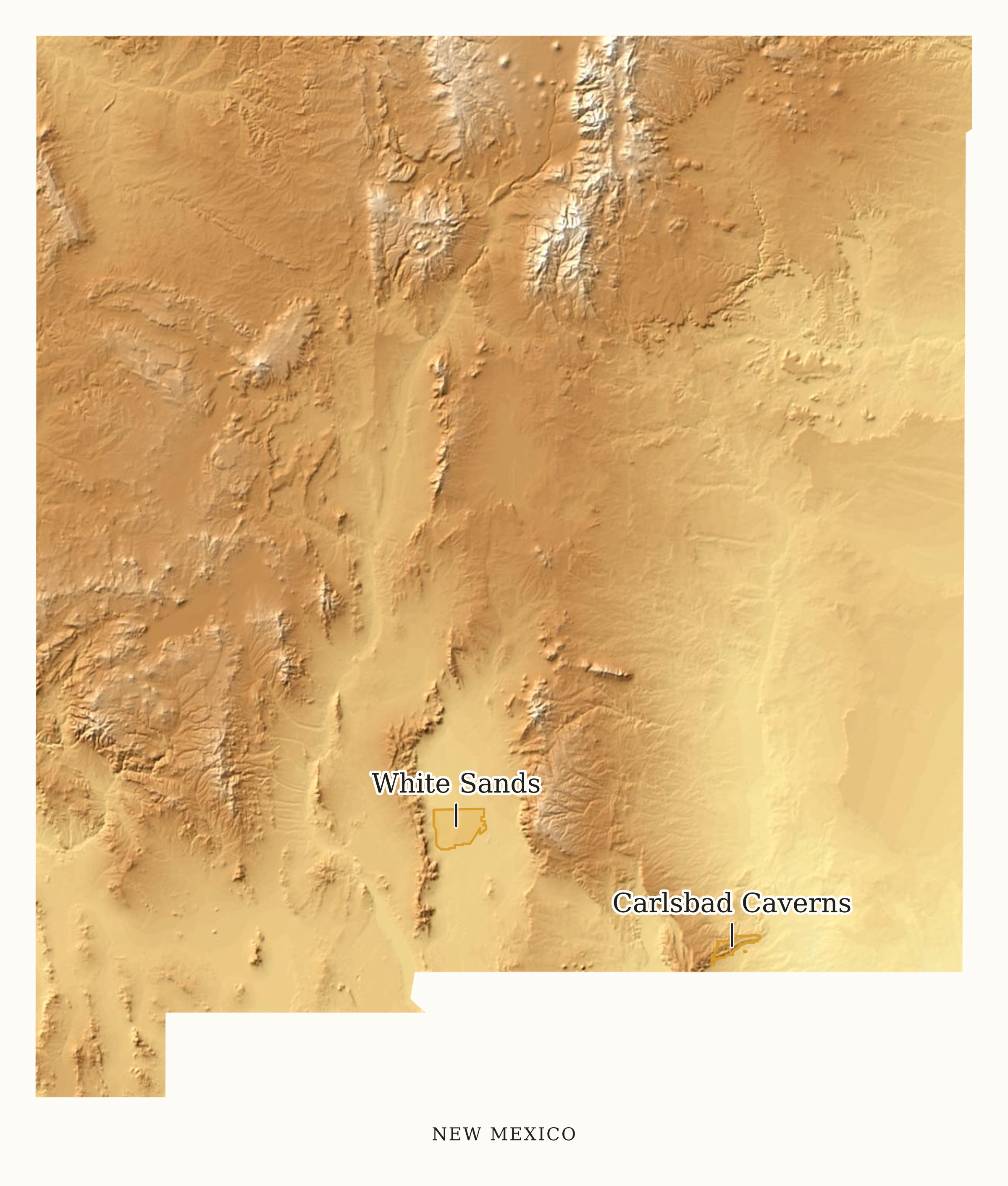
Tinted USGS terrain gives context, not a measurable elevation scale.
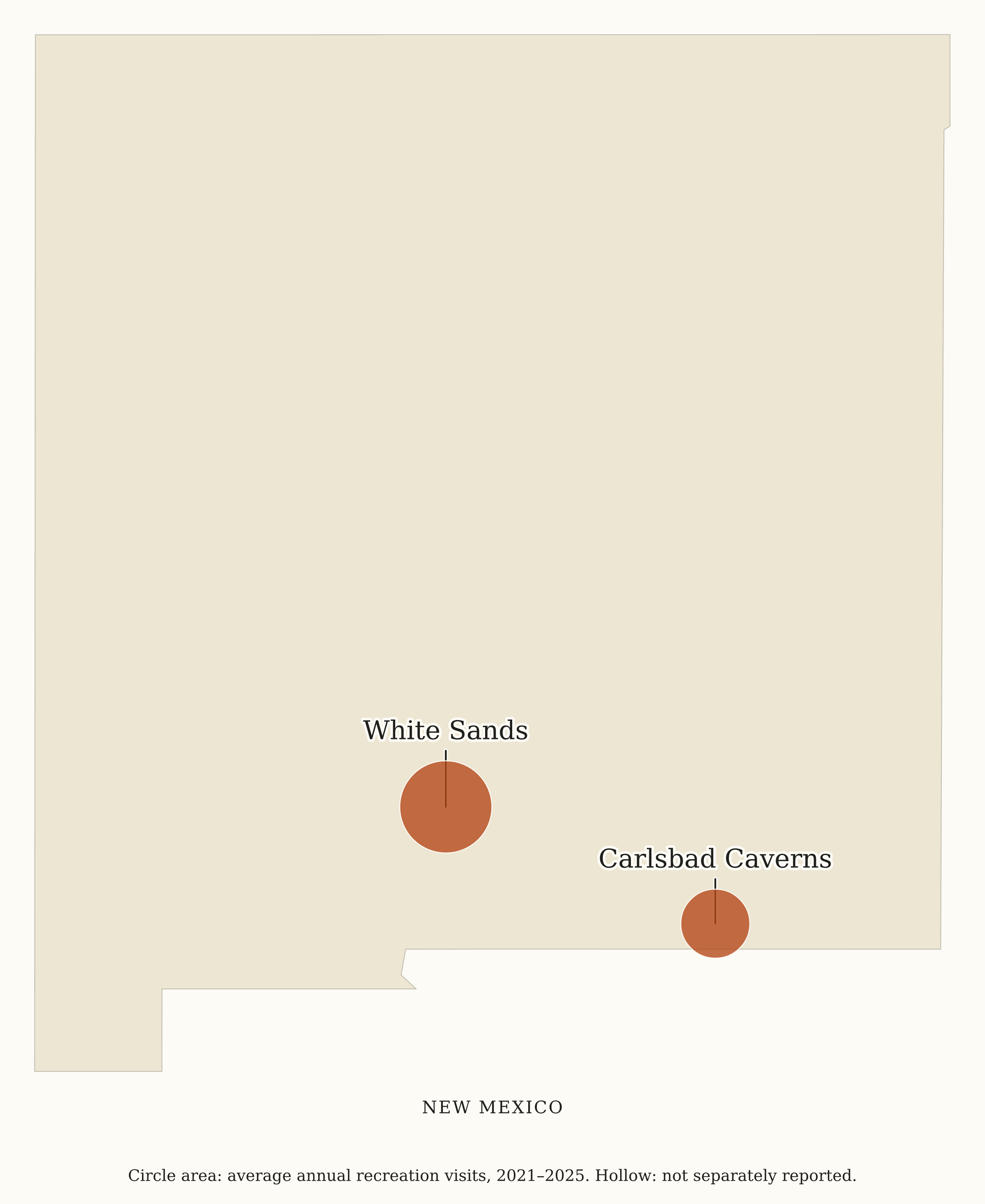
Circle area shows average annual recreation visits from 2021 through 2025. These are whole-unit totals.
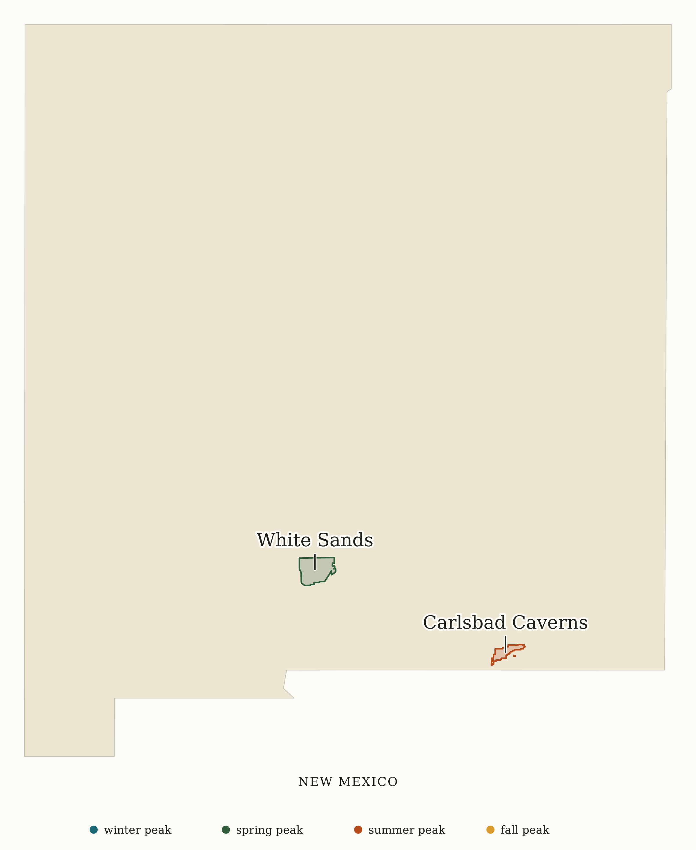
Park colors show the season of each site's busiest month. Includes a small color key.
Map: National Sites Guide, CC BY 4.0.Use Print-friendly map for a light background, park names and selected reference cities. It keeps your park and region selection. Choose US Letter or A4 and download a PDF, or use a ready-made PDF above. The paper orientation follows the map shape.
Custom PDF downloads match your current map choices and include a source note and attribution. PNG downloads are 2,400 pixels wide. SVG downloads can be resized or edited in vector software. Use each park's official map for roads, entrances, trails and campgrounds.
Names, state associations and locator points come from our NPS source registry. National Park membership uses the reviewed official 63-park list. Sequoia and Kings Canyon use separate reviewed NPS boundary centroids. Park areas use NPS API cartographic boundaries, simplified for display. They do not establish land ownership or public access. State outlines come from Census cartographic boundaries. Imagery and terrain come from USGS National Map and 3DEP.
The visitation preset uses average annual Recreation Visits from 2021 through 2025, from NPS Visitor Use Statistics. A shared park keeps its whole-unit value; visits are not divided by state. Hollow circles mean visits are not separately reported. Busiest season is the season of the reported busiest month, not a live crowd forecast.
Optional reference cities and towns use internal points from the 2025 Census Gazetteer. Small squares distinguish them from park symbols. They are selected reference places, not a complete city list or a claim about access. Park names take priority; city names can be omitted to avoid overlap.
These are overview graphics, not road, trail, campground or entrance maps. Use each site's official NPS page for navigation and current conditions. The full-state outline stays visible when you select fewer parks.
Yes. Download a ready-made PNG or SVG, or customize one. Credit National Sites Guide and link to our homepage. The CC BY 4.0 license allows commercial reuse and edits with attribution.
Yes. Choose Areas or Dots under Marker style. Both work with place names. Choose No labels to hide the names. Dot size changes dots; park areas keep their mapped size.
No. Markers are general locator points, not entrances or trailheads. This builder does not supply routes, distances or current access information.
We retain the park's source locator instead of moving it across a border. A park can include land in this state while its representative point lies in another state.
Independent site. Not affiliated with or endorsed by the National Park Service. Data comes from the official NPS Visitor Use Statistics Data Package, 2025; editorial analysis is ours. The NPS Arrowhead and other NPS marks are not used.


