| January→ |
Quiet
21% of peak · 115K visits
|
Harsh
48°F / 29°F (9°C / -2°C) · 6.98″ precip
|
Partial
Composite access score · 50/100
|
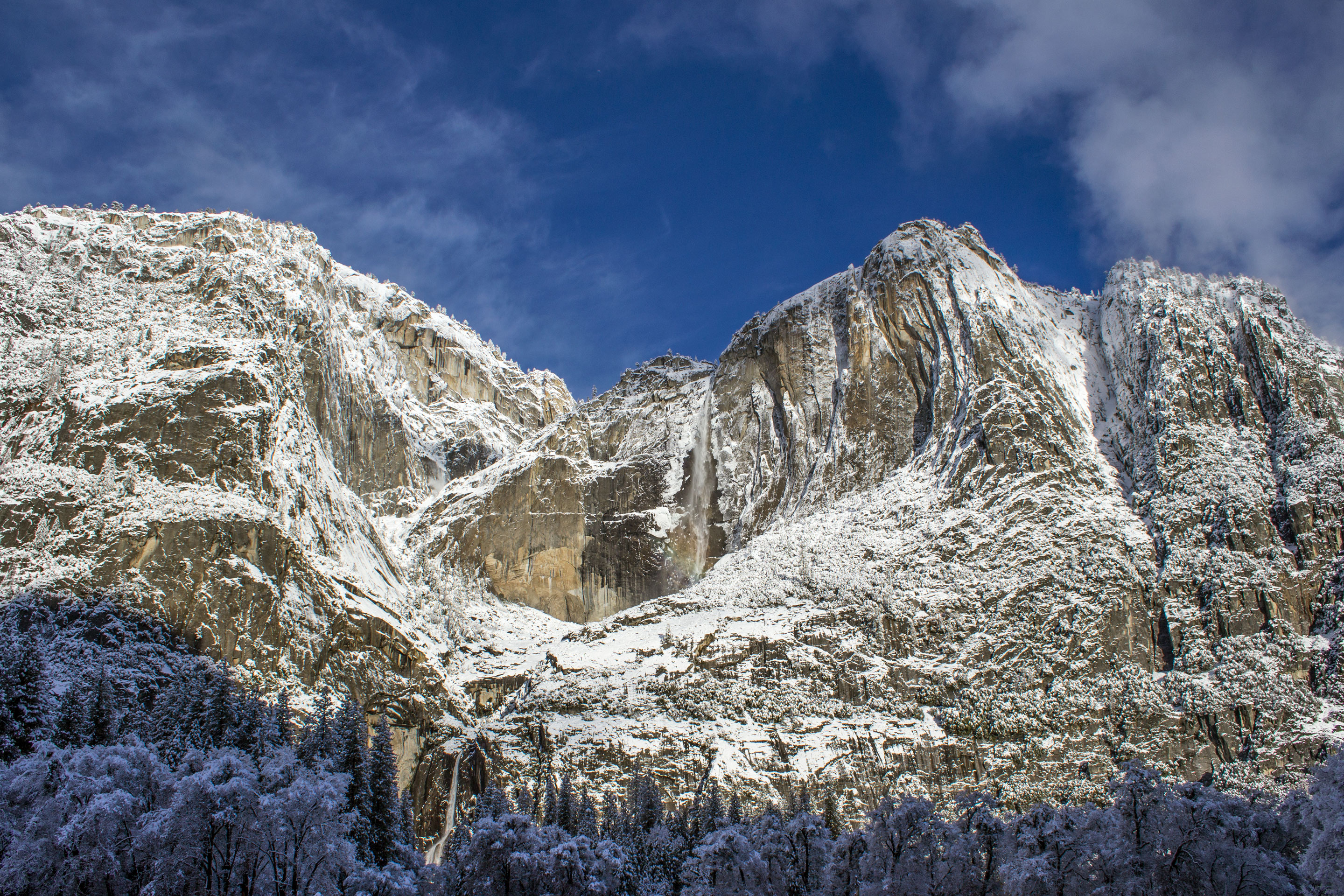
Yosemite Valley open year-round. Chains often required in storms. Tioga and Glacier Point closed. Quietest month of the year.Read January → |
| February→ |
Quiet
24% of peak · 129K visits
|
Rough
51°F / 30°F (11°C / -1°C) · 6.49″ precip
|
Partial
Composite access score · 50/100
|
Valley reflects in fresh snow. Horsetail Fall sunset glow window (mid- to late February, conditions-dependent). High country closed.Read February → |
| March→ |
Quiet
25% of peak · 136K visits
|
Mixed
57°F / 34°F (14°C / 1°C) · 5.47″ precip
|
Partial
Composite access score · 55/100
|
Mariposa Grove Road usually reopens late month. Waterfalls start swelling as snowpack melts. Glacier Point and Tioga still closed.Read March → |
| April→ |
Moderate
48% of peak · 256K visits
|
Ideal
63°F / 38°F (17°C / 3°C) · 3.17″ precip
|
Mostly open
Composite access score · 60/100
|
Tioga Road plowing begins (~April 15, NPS schedule). Waterfalls climbing toward peak. Valley fully operating; high country still closed.Read April → |
| May→ |
Busy
71% of peak · 383K visits
|
Ideal
71°F / 45°F (21°C / 7°C) · 1.92″ precip
|
Mostly open
Composite access score · 75/100
|
Waterfall season peaks. Glacier Point Road typically opens late month. Tioga Pass opens late month in light-snow years; later in heavy-snow years.Read May → |
| June→ |
Packed
95% of peak · 508K visits
|
Ideal
81°F / 51°F (27°C / 11°C) · 0.46″ precip
|
Full
Composite access score · 90/100
|
Tioga Pass usually opens by mid-month. All park roads reach full operation. High-country wildflowers; hot afternoons in the Valley.Read June → |
| July→ |
Packed
100% of peak · 536K visits
|
Mixed
89°F / 57°F (32°C / 14°C) · 0.29″ precip
|
Full
Composite access score · 100/100
|
Peak month (effectively tied with August). Valley afternoons in the high 80s. Best dry-weather window in the high country.Read July → |
| August→ |
Packed
100% of peak · 537K visits
|
Mixed
89°F / 57°F (32°C / 14°C) · 0.16″ precip
|
Full
Composite access score · 100/100
|
Peak crowds continue. Waterfalls a trickle. Wildfire smoke risk highest now. Half Dome cables in operation if installed.Read August → |
| September→ |
Packed
88% of peak · 473K visits
|
Good
83°F / 51°F (28°C / 11°C) · 0.40″ precip
|
Full
Composite access score · 100/100
|
Best tradeoff month. Smoke risk eases after Labor Day. All roads still open. School-restart drop in the second half.Read September → |
| October→ |
Busy
77% of peak · 413K visits
|
Ideal
71°F / 41°F (22°C / 5°C) · 1.56″ precip
|
Full
Composite access score · 100/100
|
Best weather month statistically (low precip, mild highs). Dogwoods and oaks color in the Valley.Read October → |
| November→ |
Quiet
40% of peak · 216K visits
|
Good
56°F / 33°F (13°C / 0°C) · 4.05″ precip
|
Mostly open
Composite access score · 70/100
|
Tioga and Glacier Point typically close mid-month with the first major storm. Quieter Valley with crisp air.Read November → |
| December→ |
Quiet
28% of peak · 149K visits
|
Harsh
46°F / 28°F (8°C / -2°C) · 5.60″ precip
|
Partial
Composite access score · 50/100
|
Valley winter season. Chains often required. Tioga and Glacier Point fully closed. Snow can shut entry roads during storms.Read December → |